Cunninghams Gap is a pass over the Great Dividing Range between the
Darling Downs and the Fassifern Valley in Queensland, Australia.
The Gap is the major route over the Scenic Rim. The Cunningham Highway was built to provide road transport between the two regions.
It is situated in
Main Range National Park, between the peaks of Mount Cordeaux and Mount
Mitchell. On a clear day the pass forms a distinct break in Main Range's profile as seen from
Brisbane.
The highway itself is a scenic drive although steep with an 8 degree grade on the descent
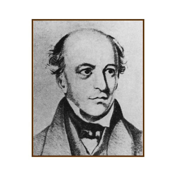
Portrait of Allan Cunningham
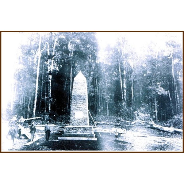
Construction of Cairn at Cunningham's Gap 1927
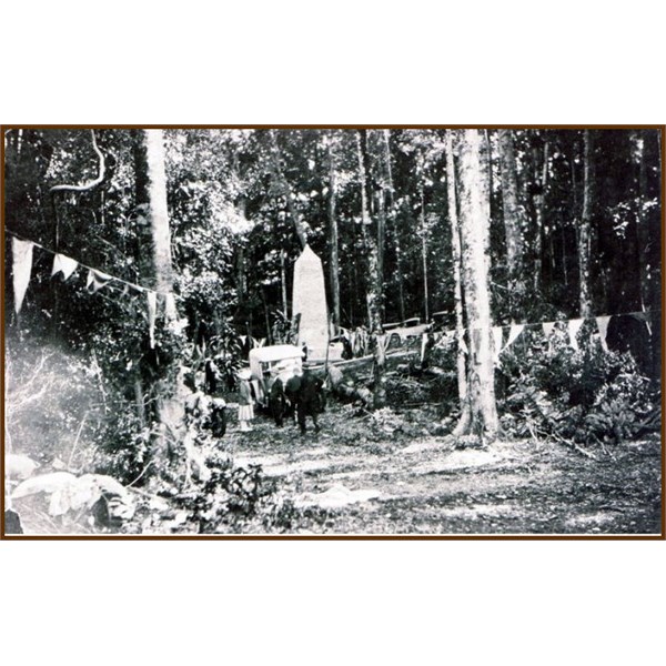
Cairn to Allan Cunningham at Cunninghams Gap
In 1827, Allan Cunningham set out from the upper Hunter River, to explore west of the Dividing Range, discovering the
Darling Downs; returning in 1828 from
Brisbane to discover
Cunninghams Gap. He was aware of the economic benefits that a link between the coast and pastoral lands to the west would provide. Cunningham travelled on the right hand side of
the Gap whereas the highway today runs on the lefthand side from
Aratula.
On the 3 July 1909,
Cunninghams Gap was declared a national
park. This new
park, which originally consisted of 3,100 acres, was located on the western side of the range and included
Gap Creek.
Walking tracks were constructed in the 1930s and 1950s.
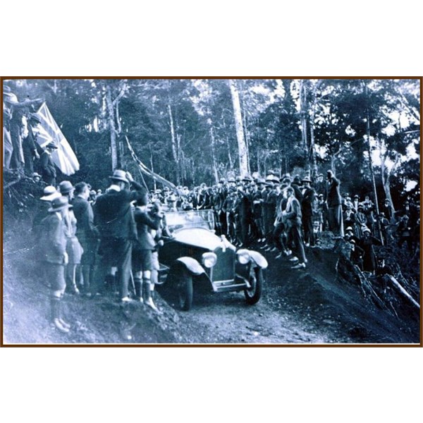
First official car down Cunningham's Gap. 1927

Car at the top of Cunningham's Gap 1927
On 11 June 1927, the 100-year anniversary of Allan Cunningham's discovery of the
Darling Downs, the new road through Cunningham's Gap was officially opened by the local Member of Parliament, Sir Littleton Groom. Although the road, which was built entirely by volunteers, was officially open, travelling along this new route was inadvisable, especially on the portion west of
Aratula. The road was plagued by problems during this early embryonic stage with the Royal Automobile Club of Queensland announcing that the road was closed, less than one month after it was officially opened. The new sealed road through
the gap was eventually opened in November 1949.
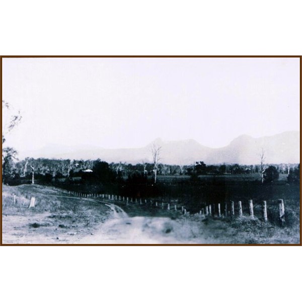
View of Cunningham's Gap in the distance
is part of the Cunningham Highway, a federally funded highway managed by the Queensland Department of Transport and Main Roads. Between December 2010 and March 2011,
the Gap experienced over two metres of rainfall and it sustained an enormous amount of damage. The cost of repairing this seven kilometre stretch of road is projected to be $40 million. Work is being undertaken by the Department of Transport and Main Roads in partnership with engineering firm Coffey
.