Wednesday, Jun 01, 2016 at 17:45
You're welcome, Mikee5.
Years ago (1969) my job transferred me and a few mates from
Melbourne to
Perth. We flew over in a Lockheed Electra, a 4 engined turbo-prop which cruised at about 20,000 ft. way below the jet levels of 33,000 or so. The Readymix
sign was plain as day and in an area without features was a prominent visual fix for pilots flying light aircraft and navigating visually.
EDIT: Hmmm. If you play around with Google Earth's perspective you might have a different opinion about it being prominent! I think if I was navigating a light aircraft visually I'd just follow the road and mark off the roadhouses as I passed them :-)
Back then it was on the aeronautical charts of the time. Don't know if it is now.
Here's what Google Earth says it look like from about 20,000 feet, as of June 2015:
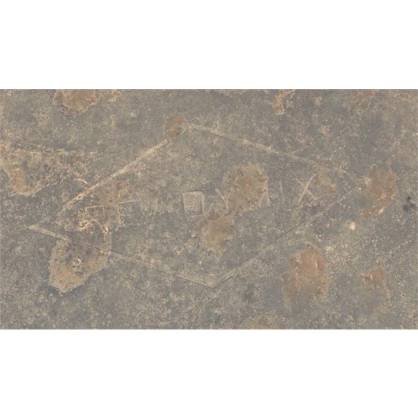
Readymix Diamond
It's not as clear as it once was, but will be there for a while yet.
Cheers
FollowupID:
870176