Barkly Stock Route information needed
Submitted: Wednesday, Nov 16, 2016 at 13:00
ThreadID:
133777
Views:
6567
Replies:
5
FollowUps:
0
This Thread has been Archived
ExplorOz Team - Michelle
I'm doing a little research on the BSR but there is not a lot easily available and there appears to be very few people having posted about their trips in either the
Blogs or in the
Forum. There are a few older posts but the most recent is 2013 and was someone asking for advice but he has not come back to post a trip report.
I'd like to connect with travellers that have been across recently - up to a year or two is fine. Please contact me if you can provide any information.
Thanks
Reply By: Shaker - Wednesday, Nov 16, 2016 at 19:44
Wednesday, Nov 16, 2016 at 19:44
We did it about 18 months ago, I can't really remember much about it as it was quite unremarkable. Found good campsites with limited firewood, it was dry conditions & an easy drive.
AnswerID:
605947
Reply By: Nomadic Navara - Wednesday, Nov 16, 2016 at 22:15
Wednesday, Nov 16, 2016 at 22:15
Michelle, I think they saw you coming -
Link
AnswerID:
605956
Reply By: Member - JOHN C16 - Thursday, Nov 17, 2016 at 00:45
Thursday, Nov 17, 2016 at 00:45
Hi Michelle,
I travelled East on the Barkly Stock Route in June this year. As Shaker said the route is fairly unremarkable. It is a wide dirt road in good condition that traverses flat grasslands with little variation in scenery.
There are a few campsites on the stock route but there are better
camping options along the
Tablelands Highway in the East and much better at
Longreach Waterhole near
Elliott in the West. This
waterhole is one of the best campsites in Australia (check out all the rave reviews on Wikicamps). In winter thousands of
water birds congregate here and pelicans form large synchronised groups to fish.
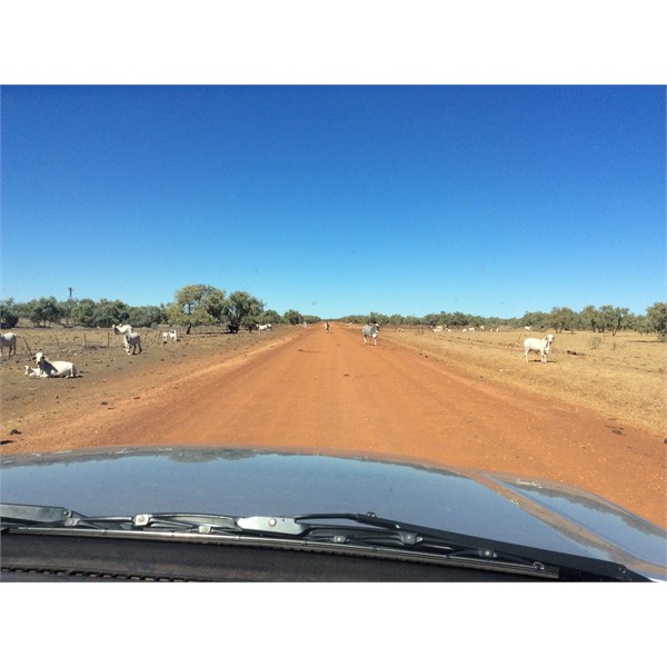
Some stock on the stock route
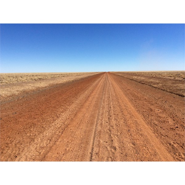
Barkly Stock Route
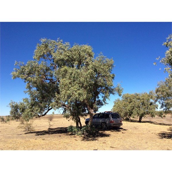
Campsite Barkly Stock Route
AnswerID:
605962
Reply By: terryt - Thursday, Nov 17, 2016 at 11:44
Thursday, Nov 17, 2016 at 11:44
We camped at the eastern end of the stock route earlier this year. Went for a walk the next morning. My partner and our dog decided to go back to
camp before me. As they got closer to
camp a group (20 odd) of cattle started heading towards them. The faster Kerry went the faster they went. Just got into the motorhome before the cattle arrived. They milled around looking at her through the windows for 10 minutes or so and then wandered off. The route at that end was really wide and really smooth.
AnswerID:
605965
Reply By: Life Member-Doug T NSW - Sunday, Nov 20, 2016 at 08:55
Sunday, Nov 20, 2016 at 08:55
G'day Michelle, my trip goes back a few years though to ?2 ?December ?2004 when I was working the Troopy as a Pilot / Escort, I travelled across the BSR en route back to Mt Isa, as others have said it is flat and boring but unless you go look and experience it's just a name, the T/o is a few K's South of Elliot , it meets the Tablelands Hwy near Brunette Downs so the route is down the Sealed road for a while and then branch of towards
Alexandria Station and then comes out onto the Barkley Hwy a little West of Rankin Station, for me the fuel was no problem, I had a 360 Lt capacity , actually an easy drive.
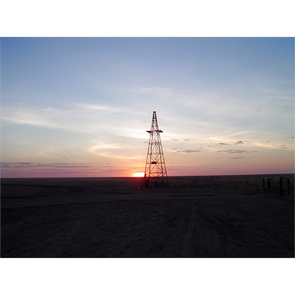
Sunset near Alexandria Station NT
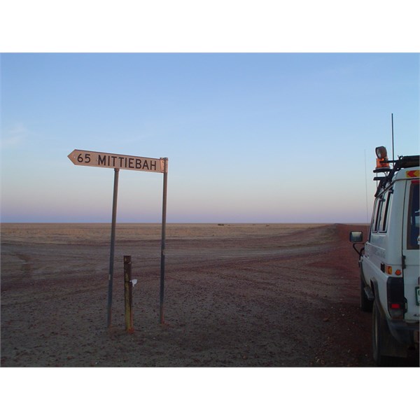
Mittiebah Sign
.
AnswerID:
606020