Sunday, Feb 26, 2017 at 11:23
Hi Kerbar
As you may be aware or not, but to view Lake Eyre North, you can see it from both the east and western sides and both are very different.
I find that the eastern side is better and this is accessed from
Muloorina Station with a good road up to the
camping area. From there to
Level Post Bay is 46 kilometres and can be corrugated, but no real dramas. The
camping at Muloorina is just fantastic and it is worth stopping here, as from the western side, you can not
camp anywhere along the road in ( not that you would want to as it is very vast, open land and very little timber if you wanted a campfire )
The western side of Lake Eyre North is accessed around 10 kilometres south of
William Creek along the
Oodnadatta Track and then it is 50 kilometres to
ABC Bay or 60 Kilometres to
Halligan Bay. The road in again is through pastoral roads and will have all tyes of conditions, but the moment that you hit the National
Park Boundary, it is a slow drive due to the corrugations.
In August last year, if you believe all the hyped up media reports, the lake was fun.....Joke, Joke. The lake may have had
water in it further north and only visible from the air, but a dear way to find out if there was no
water there.
Never believe what the media has to say, as more often than not it is a way of getting people out there and to view if from the only possible way....by air.
If you only wanted to visit one location, I personally would vote
Level Post Bay for a better drive in, fantastic
camping only 46 from the lake and a very easy drive from
Marree.
Cheers
Stephen
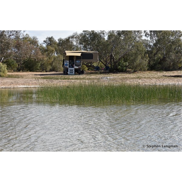
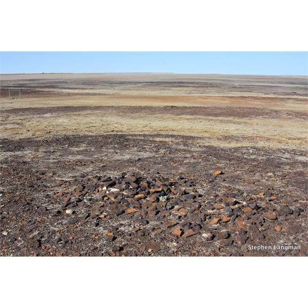
Fantastic camping at Mulloorina
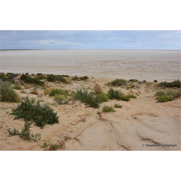
Level Post Bay August 2016
Level Post Bay
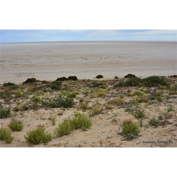
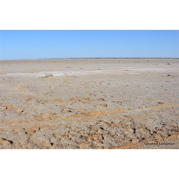
ABC Bay and the drive in is like driving on the moon
ABC Bay - and the media said the lake was full of water....ha ha
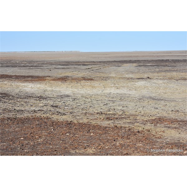
Halligan Bay
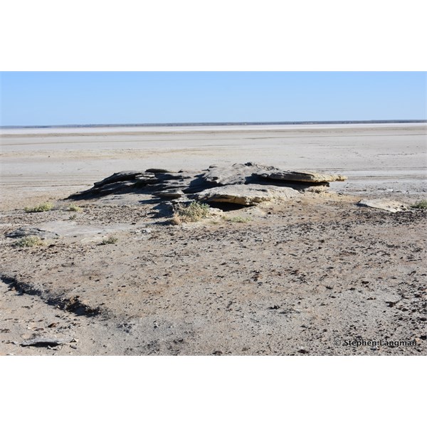
Halligan Bay
AnswerID:
608903
Follow Up By: Peter_n_Margaret - Sunday, Feb 26, 2017 at 12:43
Sunday, Feb 26, 2017 at 12:43
Level post Bay, mid October '16.
Cheers,
Peter
OKA196 motorhome
FollowupID:
878656
Follow Up By: Member - Warrie (NSW) - Sunday, Feb 26, 2017 at 14:35
Sunday, Feb 26, 2017 at 14:35
Nice shot Peter, or would that be Margaret LOL....... W
FollowupID:
878661
Follow Up By: kerbarb9 - Sunday, Feb 26, 2017 at 15:05
Sunday, Feb 26, 2017 at 15:05
Great information, thanks for that
FollowupID:
878662