Lake Dey Dey rd to Anne Beadell Hwy
Submitted: Saturday, Apr 07, 2018 at 20:02
ThreadID:
136514
Views:
3656
Replies:
3
FollowUps:
2
This Thread has been Archived
IvanTheTerrible
F.Y.I. A fair portion of this track has been closed and diverted. The section roughly between
Hill Corner and Wyola Lake is closed. This takes out access to two native wells and is not marked on any map I have. On the plus side is the diversion is in really good condition for the majority of it which took out the challenge but allowed us to sit comfortably on 80kmh.
Reply By: Member - Phil G (SA) - Saturday, Apr 07, 2018 at 21:45
Saturday, Apr 07, 2018 at 21:45
The diversion was created in around 2012 to protect some sacred areas such as Bryngina. Its a pity, it was a nice drive.
Can blame the ex-mining exploration company Rodinia who put the new road in in 2010.
But the road is the
Cook to
Voakes Hill Rd, not the Lake DeyDey Rd which runs from
Oak Valley to
Ooldea.
The road is marked on the later Hema maps.
AnswerID:
618115
Follow Up By: IvanTheTerrible - Saturday, Apr 07, 2018 at 22:40
Saturday, Apr 07, 2018 at 22:40
I know it is but it's only the section from Lake Dey Dey north that is diverted. Lake Dey Dey to
Cook is still a goat track. :-) And I have the latest Hema and I was driving in the middle of nowhere according to it. EOTopo shows bits of the road at least
FollowupID:
889971
Follow Up By: Member - Phil G (SA) - Sunday, Apr 08, 2018 at 18:08
Sunday, Apr 08, 2018 at 18:08
This was a trip last July - a mate had a paper map with the new road - maybe it was Westprint and not Hema, but at the time I thought it was Hema. Takes the mapmakers a while to catch up, especially on a road that is not often travelled
FollowupID:
890042
Reply By: ExplorOz Team - Michelle - Wednesday, Apr 11, 2018 at 19:29
Wednesday, Apr 11, 2018 at 19:29
Wow I have the exact same photo. We were there in 2013 - hasn't changed a bit! Interestingly enough, Graeme & Jo from Westprint were with us too.
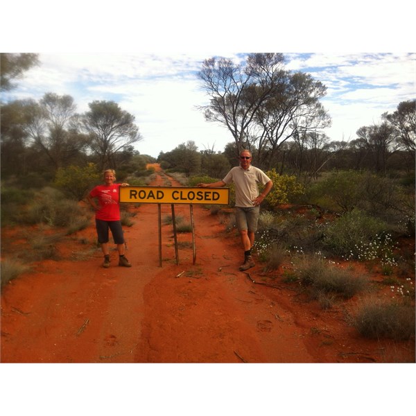
David & Michelle 2013
AnswerID:
618229
Reply By: Member - Stephen L (Clare SA) - Wednesday, Apr 11, 2018 at 20:54
Wednesday, Apr 11, 2018 at 20:54
Hi Ivan
Here are some images of what you missed.
The
Road Closed sign was put in place by Bob Sim, the local school teacher from
Yalata at the request of some of the Aboriginal Elders.
Bob is a great guy and is fully respected by the Aboriginals in the area.
We last caught up with Bob at the
Ooldea 100th Anniversary.
Cheers
Stephen

On the Voakes Hill to Cook Road that is now Detoured
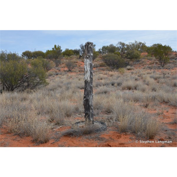
One of Len Beadell's Marker posts
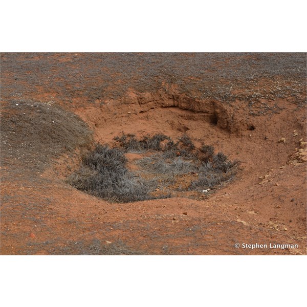
Bryngina Native Well
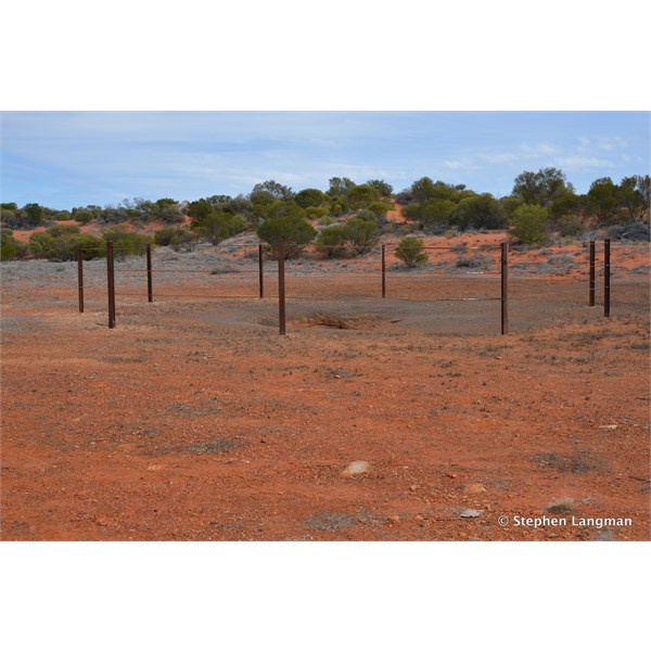
Bryngina Native Well with the large fence around it to keep the camels out

Country near Bryngina Native Well
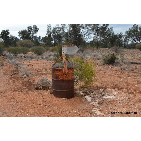
Old fuel drum and Len's Sign into Bryngina Native Well
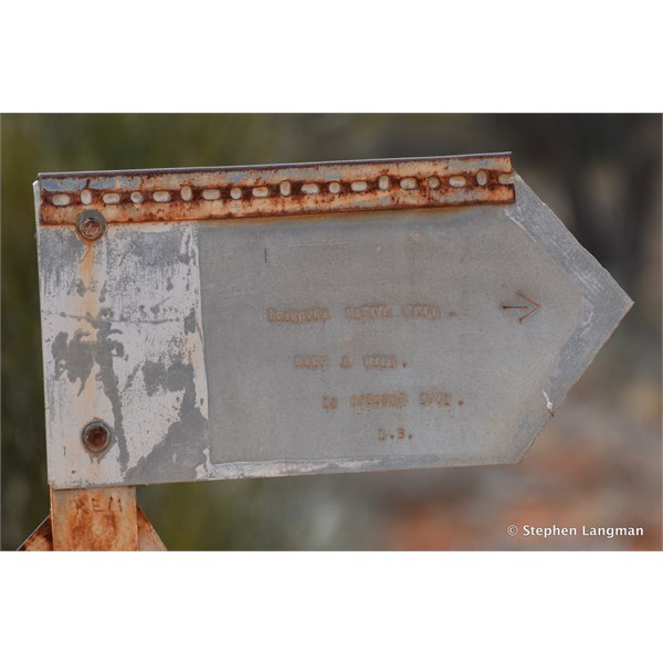
Len's Sign
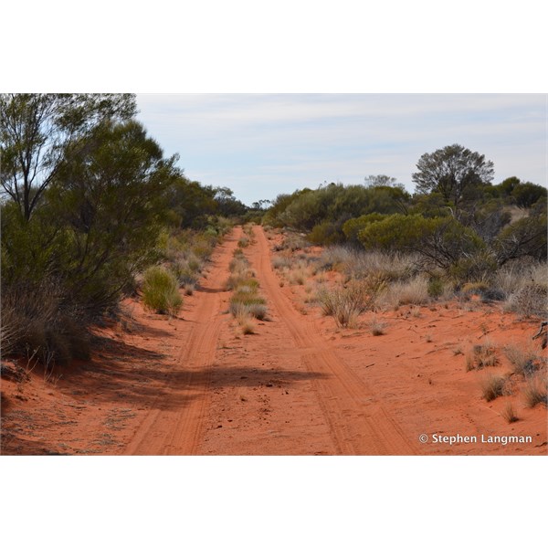
Heading south from the well
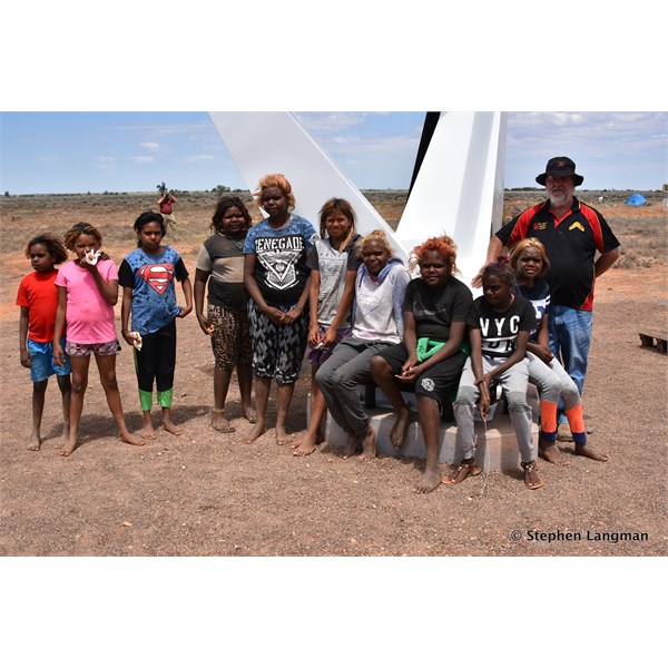
Bob and some of his students from Yalata at the Ooldea Anniversary
AnswerID:
618233