It’s been a great year for rediscovering some of our early explorer history. We’ve all read of Larry P turning up the abandoned equipment of the 1904 Barkley expedition which was an amazing find and a testament to Larry’s research and hard work.
Well against all odds, I was fortunate enough to turn up a little piece of history left over 116 years ago by members of the R.T. Maurice
Fowlers Bay to Cambridge Gulf Expedition of 1902.
There is an inordinate amount of detailed work that goes into plotting a 116 year old route onto todays modern maps. An awful lot depends on the skill and accuracy of the person initially recording the bearings and distances during the original expedition and also crucial for those who follow are the physical observations of the country and of any rare or distinctive features.
For us, 116 year later, unless it’s a known mark like a mountain or
lake, any feature recorded by Murray and Maurice are only ever ’approximate’ until proven by being on the ground and matching the observations, bearings and descriptions to actual physical landmarks. Given the nature of the territory, that’s also difficult and takes a lot of planning and resources.
Scott and I were three days into an eight day quad expedition and were approaching my estimated position of a feature recorded by William Murray and you can imagine the rising excitement on finding the physical location matched Murrays description perfectly.
“Our guide took us ESE and in two
miles we reached the water which proved to be a soakage
well, and from all appearance a good one”.
And on the next day Murray wrote; “Marked a large Black Oak north of the
well ‘R.T.M.’”
Following the
well worn camel
trails down to the scrub in the centre of the pan, we searched through the scrubby acacia with no real
sign of a soak. Widening our search pattern into ever broadening circles, we found a long disused
native well. It was still 1.7 metres deep and had been covered with heavy branches to prevent camels gaining access. This was solid evidence that my extrapolation of the expeditions route had been accurate. Could it be possible that after 116 years and the harsh desert environment, a blaze tree remained.
On the northern edge of the bowl and about 150 metres from us, we spied an old gnarled Black Oak. So old was this tree that it had had developed a distinctive lean to the west. It was certainly larger and much older than any of the other trees in the surrounding area. Daring to hope, we headed over, a large blaze becoming more apparent as we got closer.
So ancient was this tree that the central heart wood had been eaten away and the living bark ran up the side and rear of the tree only. This probably contributed to the lean to the west, that side being the heaviest but to have survived the ravages of a desert environment for so long is a miracle in itself. Exposure to the elements had taken its toll on the inscription but the detail of the letters was still detectable. Wetting the blaze also made it easier to trace the outline of the letters. The left hand upright of the ‘R’ and the right hand stroke of the ‘M’ were obscured by the thick bark but the letters were still visible as
well as the tell tale characteristic of the curved lines in the ‘M’.
To our knowledge this
well and Blaze tree have not been visited by Europeans since the Maurice Expedition in 1902, and its sheer remoteness would certainly contribute to that. In an environment as harsh as the Australian desert, these finds are rare and all the more precious for it.
Cheers
Mick
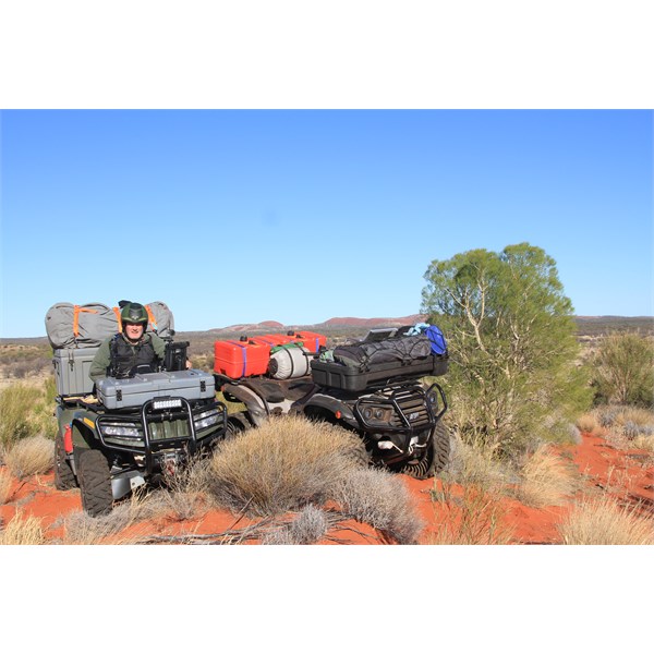
Three days in....
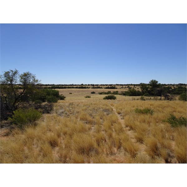
Looking north towards the well/soak area

The soak area
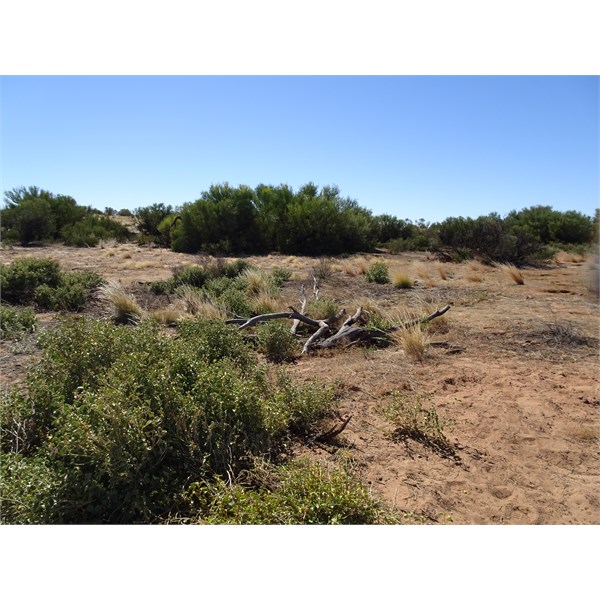
The native well
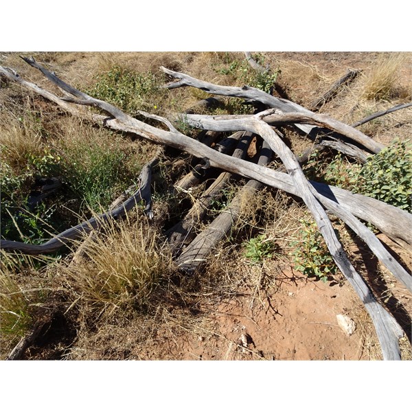
Native well
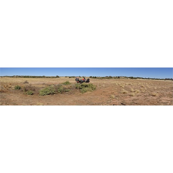
Well site

The Blaze Tree
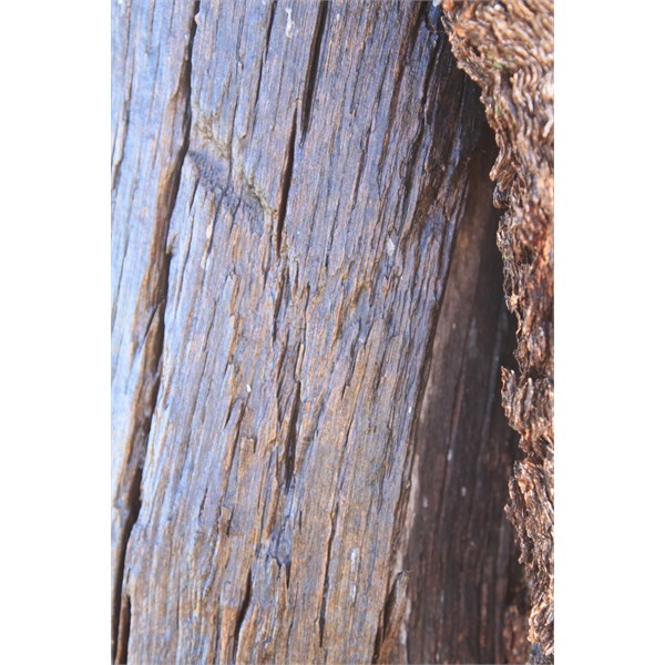
'M'
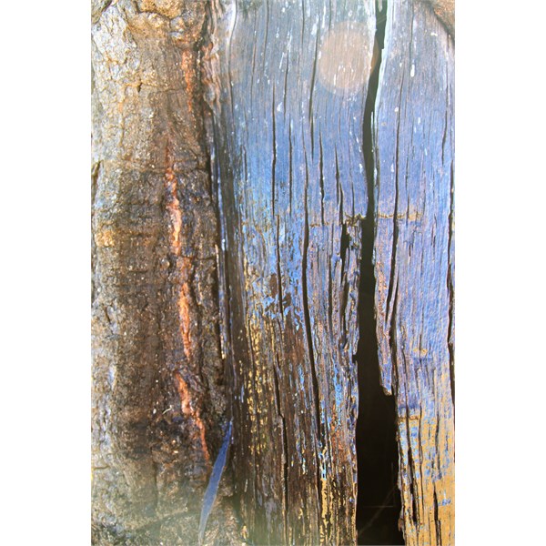
'R' and top stroke of the 'T'. The centre downstroke of the 'T' has dissappeared through weathering.
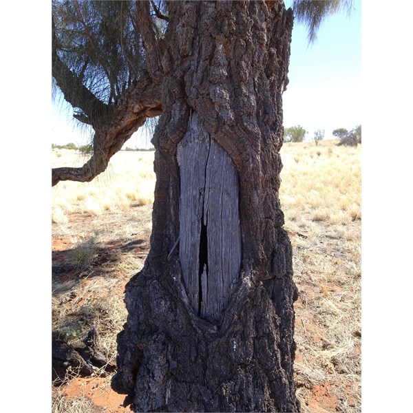
Blaze
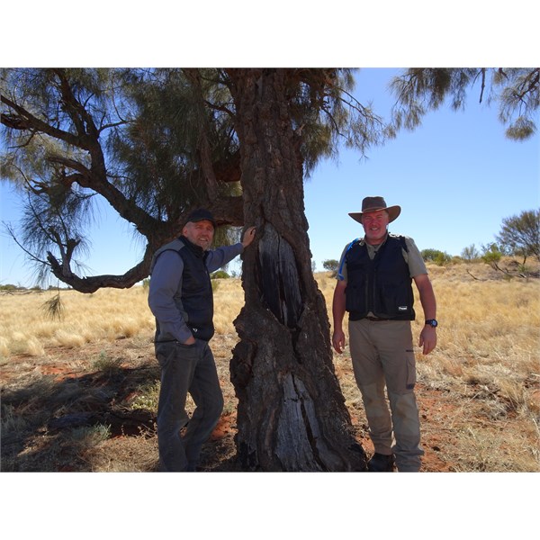
Very Very VERY happy expeditioners!
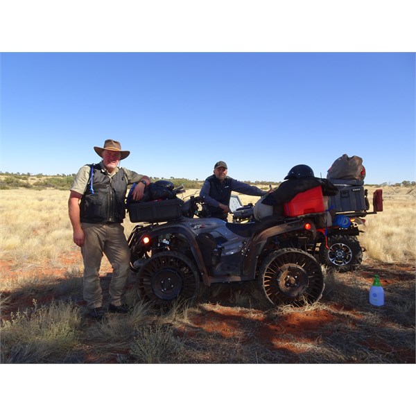
The boys