Satellite view

Submitted: Tuesday, Feb 15, 2022 at 17:57
ThreadID: 143247 Views:5170 Replies:4 FollowUps:7
This Thread has been Archived
I’m obviously missing something but I can only see the option for satellite view when I have internet connection. I have downloaded everything except the extreme hi res file.
Back Expand Un-Read 0 Moderator

Reply By: Member - wicket - Tuesday, Feb 15, 2022 at 18:10

Tuesday, Feb 15, 2022 at 18:10
You’re not missing anything , sat view only with internet.
AnswerID: 639468

Reply By: Nomadic Navara - Tuesday, Feb 15, 2022 at 23:50

Tuesday, Feb 15, 2022 at 23:50
What are you looking at? You are being too cryptic.
PeterD
Retired radio and electronics technician

Lifetime Member
My Profile  Send Message

AnswerID: 639476

Follow Up By: JTcaf - Wednesday, Feb 16, 2022 at 08:46

Wednesday, Feb 16, 2022 at 08:46
I want to use satellite view when out in the bush on tracks. But the option disappears from the menu when I lose internet coverage
0
FollowupID: 918567

Follow Up By: Frank P (NSW) - Wednesday, Feb 16, 2022 at 10:55

Wednesday, Feb 16, 2022 at 10:55
That is not possible in Traveller. Satellite view is an online only option.
FrankP

Lifetime Member
My Profile  My Blog  My Position  Send Message
Moderator

0
FollowupID: 918573

Reply By: Member - wicket - Wednesday, Feb 16, 2022 at 10:33

Wednesday, Feb 16, 2022 at 10:33
There is another alternative if you want to use sat maps offline but for android only, a review here. https://youtu.be/hSm1EtVv54Q
AnswerID: 639484

Follow Up By: Member - Warren H - Wednesday, Feb 16, 2022 at 11:52

Wednesday, Feb 16, 2022 at 11:52
I have the Australia Topo Maps app. The satellite images are good, the ESRI aerial images seem to be a slightly higher res (smaller pixel size) than the online EO Traveller images. As I understand, ESRI aerial are a mixture of satellite and air photo images so it might depend on where you are looking. To use the Aust Topo ESRI aerial images offline, they need to be cached. A year ago when I tried to download a cache forHay R Track it was tedious and not very successful for a long and narrow but large area. Even with a 50MBs download (~36 over wifi) it took several days of constant downloading and there were missing tiles and various glitches. It would be much easier if the area of interest was squarer and smaller so that you could get the entire area of interest in a single box and download. For a limited area, that you knew you wanted in advance it would be great, I'll definitely be trying again. The YouTube clip is definitely worthwhile watching and mirrors my experience with the app. Now if you could only overlay the sat image with a map!!
I think these various packages are complimentary, I wanted the offline sat images as 'insurance' so if I became confused about a route and couldn't see a marked track on the ground due to changed conditions a geolocated position on an image would reassurance. One of the family used the app while bushwalking in Namadgi NP and found the cached sat image invaluable when taking a route marked on the map that became poorly defined on the ground.
I think the additional functionality provided by EO Traveller and I presume other packages such as Hema and OziExplorer (which I haven't used), make them better apps for touring.
NT Pajero
2007 Goldstream Crown

Member
My Profile  My Position  Send Message

0
FollowupID: 918575

Follow Up By: Member - wicket - Wednesday, Feb 16, 2022 at 15:41

Wednesday, Feb 16, 2022 at 15:41
Warren
“Now if you could only overlay the sat image with a map!!“

I use some software that does that, but alas no caching.

2
FollowupID: 918579

Follow Up By: The Explorer - Wednesday, Feb 16, 2022 at 19:49

Wednesday, Feb 16, 2022 at 19:49
“Now if you could only overlay the sat image with a map!!“

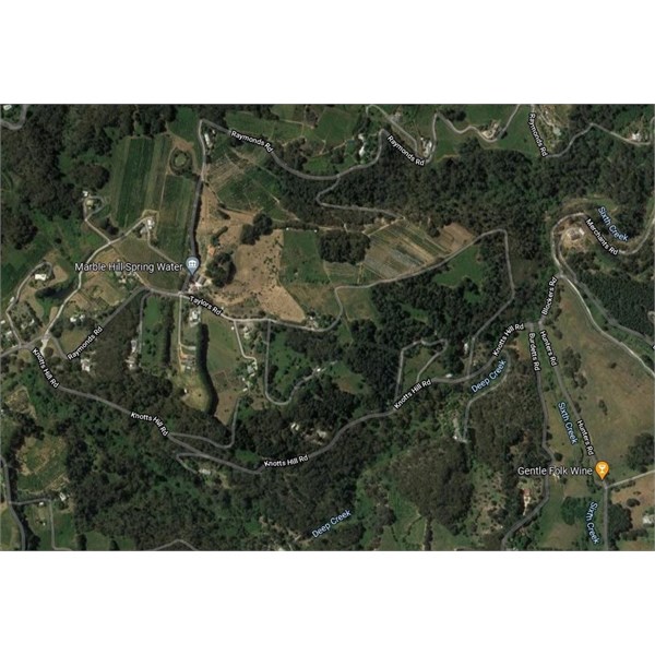
Plain old Google maps does that...


And you can cache maps on Apple and Android devices using following method
______________________________
Launch the Google Maps app from the Home screen of your iPhone, iPad or Android Device
.
Find the area of the map that you'd like to cache for offline use (select sat/terrain image layers if thats what you want)

In the Search bar type in "Ok Maps" and hit Search.

You'll see a screen with the Google icon showing that it's processing the area for offline caching.

You'll now see a message at the bottom screen asking if you wish to download data.
______________________________

Note: I haven't tried this in real world situation and guess its of limited use in a lot of cases but you can do it if you want.

Cheers
Greg
I sent one final shout after him to stick to the track, to which he replied “All right,” That was the last ever seen of Gibson - E Giles 23 April 1874

Lifetime Member
My Profile  My Blog  Send Message
Moderator

1
FollowupID: 918584

Follow Up By: MickO - Thursday, Feb 17, 2022 at 13:06

Thursday, Feb 17, 2022 at 13:06
Great tip thanks Greg. It worked well. Cheers.
''We knew from the experience of well-known travelers that the
trip would doubtless be attended with much hardship.''
Richard Maurice - 1903

Lifetime Member
My Profile  My Blog  My Position  Send Message

0
FollowupID: 918591

Follow Up By: Member - Warren H - Thursday, Feb 17, 2022 at 13:55

Thursday, Feb 17, 2022 at 13:55
Good tip Greg, as far as I remember, the original version of Google maps didn't cache at all, then there was an automated caching of the area you had viewed, this was automatically deleted at some point and I don't think you had any control. It's about this stage I thought no more about using it offline.
There's also an extension of Google maps called My Maps which can be useful for sharing trip plans. It has the advantage of being able to have a large number of destinations (way points) and you can have treks broken up into segments which are stored as layers. Additionally you can import/export gpx, kml and kmz files. My maps can't be used for navigation as it doesn't talk to the gps (afaik).
NT Pajero
2007 Goldstream Crown

Member
My Profile  My Position  Send Message

0
FollowupID: 918593

Reply By: Member - peter_mcc - Thursday, Feb 17, 2022 at 17:17

Thursday, Feb 17, 2022 at 17:17
I did this a number of years ago using OsmAnd - Android App. It was a bit painful back then because it only saved the satellite images when you had them on the screen, meaning lots of scrolling around beforehand. But it worked well.

Lifetime Member
My Profile  Send Message

AnswerID: 639507

Sponsored Links