Cyclone Zelia
Submitted: Monday, Feb 17, 2025 at 11:55
ThreadID:
149666
Views:
3465
Replies:
2
FollowUps:
3
This Thread has been Archived
Member - rocco2010
Coongan River near
Marble Bar. I believe this is road that goes past
Comet mine to one of Gina’s iron ore operations.
Note the car parked on old floodway.
Marble bar flooding
Reply By: Peter_n_Margaret - Monday, Feb 17, 2025 at 13:58
Monday, Feb 17, 2025 at 13:58
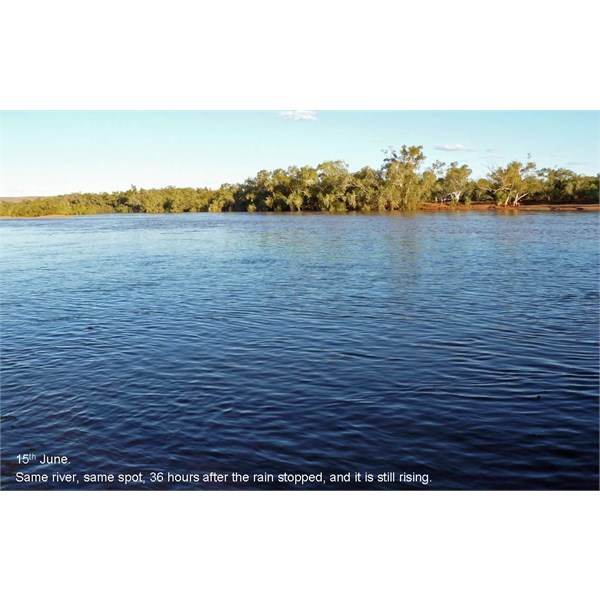
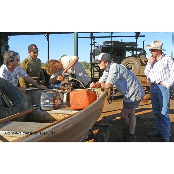
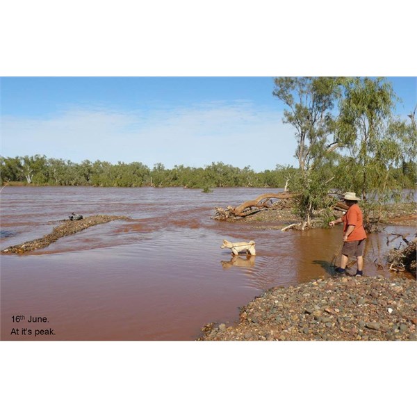
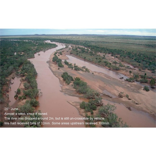
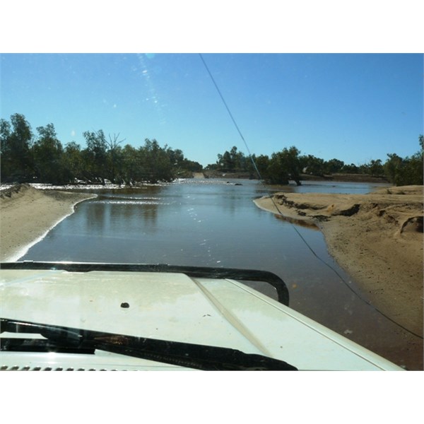
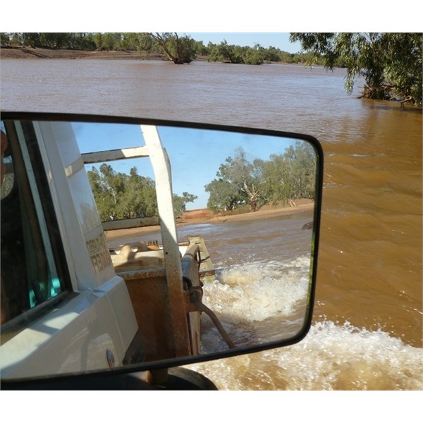
A pictorial story from Yarrie Station where we worked for a couple of months in 2008.
Yarrie is on the DeGrey River, north of
Marble Bar.
The recent rain from Zelia is MUCH more than fell on this occasion.
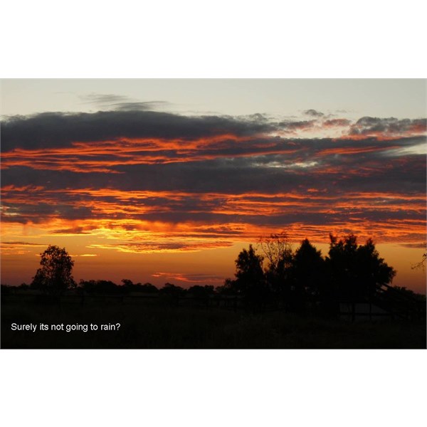
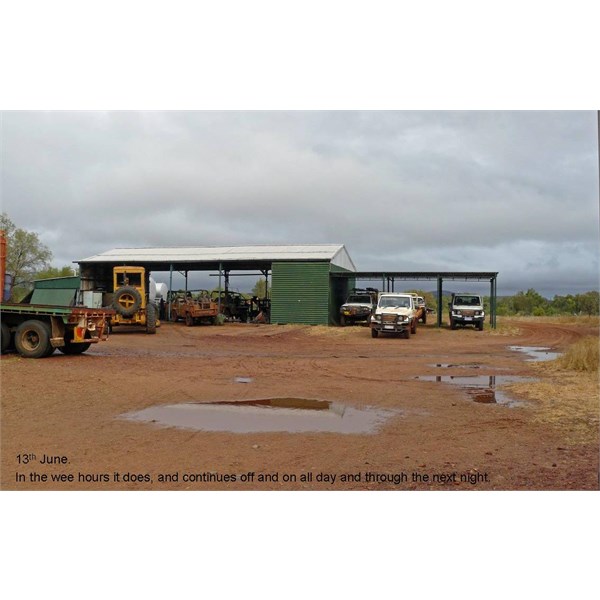
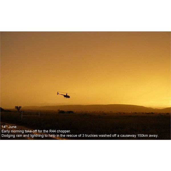
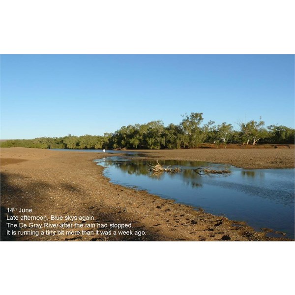
Yarrie 2008.
Yarrie 2008.
Yarrie 2008.
Yarrie 2008.
We actually drove the OKA across the DeGrey at this very spot.
Yarrie 2008.
Yarrie 2008.
Yarrie 2008.
Yarrie 2008.
22nd June.
This is the first crossing of the DeGrey via the concrete causeway on the Muccan Road.
It is 9 days after the rain.
Yarrie 2008.
Yarrie 2008.
Cheers,
Peter
OKA196 motorhome
AnswerID:
647416
Follow Up By: Member - rocco2010 - Monday, Feb 17, 2025 at 14:05
Monday, Feb 17, 2025 at 14:05
Thanks Peter.
Saw a media report that people at Yarrie were among those evacuated by helicopter over the weekend.
FollowupID:
928428
Follow Up By: Peter_n_Margaret - Monday, Feb 17, 2025 at 14:47
Monday, Feb 17, 2025 at 14:47
Report and radio interview with Annabelle Coppin of Yarrie Station.
Report and radio interview.
Cheers,
Peter
OKA196 motorhome
FollowupID:
928431
Reply By: Member - pedro1 - Friday, Feb 21, 2025 at 19:42
Friday, Feb 21, 2025 at 19:42
I think the damage is between MB and
Port Hedland , not south of MB
AnswerID:
647443