Thursday, May 15, 2014 at 15:30
DB,
Have dug up a few photos, though I think they're already in the archives here........somewhere.
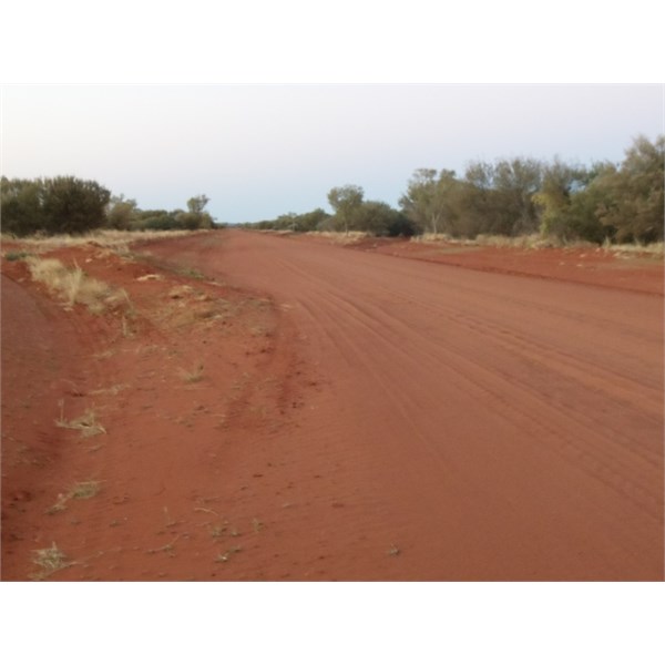
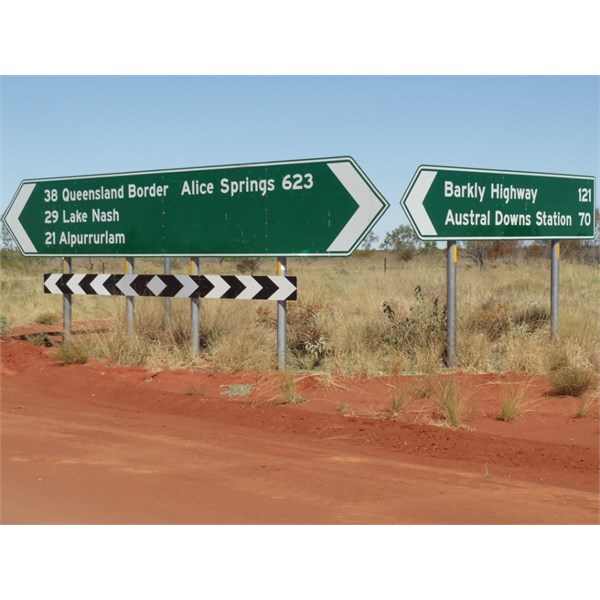
About 80 kms from Plenty Highway Junction
We camped here, to right of photo. Drove down a recently graded drain, and camped at the end on a clear spot. Turned out to better than it looked, as we were unseen from the road. Bit of traffic through the night, as community residents returned home. They were really hammering too, and was hoping they didn't "lose" it near our spot.
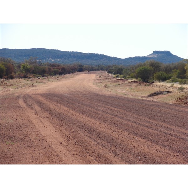
Looking toward Kunoth Knob
Probably the pick of the few camps here, to left, after crossing a
grid. Co-ordinates are: 22 10'31.9"S 134 32'54.2"E
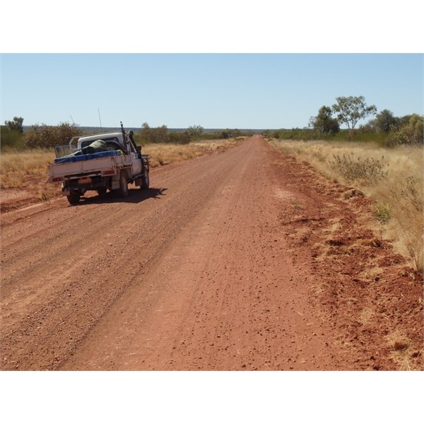
Past Ammaroo
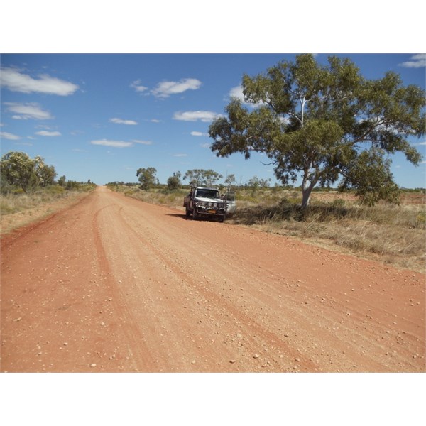
Dinner Camp @ Gravel Pit
Blacksoil & Bitumen to Left, Corrugations straight ahead.
Not 100% sure of co-ordinates, but took them off my Hema HN5, so they must be right, eh? :-) Think these few should give you an idea DB. Do have a few others that I could post later?
Bob.
FollowupID:
815785