Anyone know where this is in SA?
Submitted: Tuesday, Jan 13, 2015 at 18:57
ThreadID:
110719
Views:
3415
Replies:
7
FollowUps:
8
This Thread has been Archived
Phil P
Hi all,
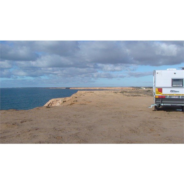
This image was recently displayed on the Hema Maps Facebook page, apparently it's in SA. Looks like a nice track, does anyone know where this is?
http://imgur.com/iFPBNeX
Thanks in advance.
Phil P
Reply By: Mick O - Tuesday, Jan 13, 2015 at 19:21
Tuesday, Jan 13, 2015 at 19:21
Some where along the coast? ;-)
AnswerID:
544192
Follow Up By: Member - John (Vic) - Tuesday, Jan 13, 2015 at 22:11
Tuesday, Jan 13, 2015 at 22:11
As usual you're on the ball Mickey :)
FollowupID:
831317
Reply By: Member - Stephen L (Clare SA) - Tuesday, Jan 13, 2015 at 19:27
Tuesday, Jan 13, 2015 at 19:27
Hi Phil
Without known the exact location, I would have a bet either the Eyre Peninsula. The majority of the unreal coastline the further west you travel had large cliffs.
If you get in contact with Hema, they should be able to give you the location.
If you do find out, please let us know.
Cheers
Stephen
AnswerID:
544193
Reply By: Yunderup Fox n Wifey - Tuesday, Jan 13, 2015 at 19:29
Tuesday, Jan 13, 2015 at 19:29
Bit of a long shot Mick O but I think your right.
AnswerID:
544194
Reply By: Phil P - Tuesday, Jan 13, 2015 at 19:44
Tuesday, Jan 13, 2015 at 19:44
After more searching on Instagram it appears it may be near Port Lowly
AnswerID:
544196
Follow Up By: MEMBER - Darian, SA - Tuesday, Jan 13, 2015 at 20:15
Tuesday, Jan 13, 2015 at 20:15
Seems to - it does fit with an easterly view from
Black Point, taking in the end of Santos's
Point Lowly jetty - if so, what a place ! Mobs of snapper live under that 2.4km jetty - years back it was staff only, but if anyone ever gets a chance to fish there, fish heavy and take lots of bait.....its gone in a flash !
FollowupID:
831303
Follow Up By: Member - Chris M (SA) - Tuesday, Jan 13, 2015 at 20:28
Tuesday, Jan 13, 2015 at 20:28
Yes, if near
Point Lowly, I agree with Darian - east from
Black Point, and Santos jetty at Port Bonython (
Point Lowly to a local, the Lighthouse is around the corner, as Spencers Gulf goes north to
Port Augusta), across Spencers Gulf the Southern
Flinders Ranges run north-south.
FollowupID:
831305
Follow Up By: Andrew - Touring4x4 - Tuesday, Jan 13, 2015 at 21:24
Tuesday, Jan 13, 2015 at 21:24
Yep, coast road to
Point lowly that comes out next to the Santos plant. Also where you can go diving or snorkelling with the Cuttlefish.
FollowupID:
831313
Follow Up By: Ron N - Tuesday, Jan 13, 2015 at 22:09
Tuesday, Jan 13, 2015 at 22:09
Yes, spot on, fellas ... link below, is where she says "on the way to Port Lowly" ...
On the way to Port Lowly
FollowupID:
831316
Reply By: Ron N - Tuesday, Jan 13, 2015 at 20:21
Tuesday, Jan 13, 2015 at 20:21
This following site merely says the photo is of the South Australian coast - but it doesn't say exactly where.
I'd say Mick is correct, somewhere along the Eyre bleep ula.
Photo of coast
Cheers, Ron.
AnswerID:
544198
Follow Up By: Ron N - Tuesday, Jan 13, 2015 at 20:22
Tuesday, Jan 13, 2015 at 20:22
Ha ha! That was supposed to read "peninsula"! Amazing what a simple spelling error can produce! [;-)
FollowupID:
831304
Follow Up By: Member - tommo05 - Tuesday, Jan 13, 2015 at 20:52
Tuesday, Jan 13, 2015 at 20:52
Haha jeez Ron I thought you had some kind of issue with the place...
FollowupID:
831307
Follow Up By: Bob Y. - Qld - Tuesday, Jan 13, 2015 at 20:57
Tuesday, Jan 13, 2015 at 20:57
Ha ha, good one, Ron.
Never seen you make a spelling error yet! Now I've got something to giggle about, before fronting the "tooth fairy" tomorrow.
Bob
FollowupID:
831309
Reply By: Member - Bigred13 - Tuesday, Jan 13, 2015 at 21:40
Tuesday, Jan 13, 2015 at 21:40
Hi my guess is on the south coast in
Coffin Bay NP, seem to remember the road next to sea .
AnswerID:
544202
Reply By: Gone Bush (WA) - Tuesday, Jan 13, 2015 at 22:29
Tuesday, Jan 13, 2015 at 22:29
Before I saw Ron N's link, I would have said it was leading to the cliffs at Port Gibbon.
Port Gibbon cliffs Eyre peninsula
AnswerID:
544206