Saturday, Mar 28, 2015 at 23:06
Haven't been on the
Betoota-Mooraboorie section for perhaps 10 or more years, Kevin. It was in good order then, and as it's a little used road except for station staff, and perhaps odd triple, I can't see it being too bad. Just south of Mooraboorie, it twists and turns a bit, as the road dodges around low sand ridges........quite quaint, I thought.
There's been a lot of money spent on the road up to Davenport, and it's pretty good now. As much of the country is "ashy" downs, it powders up quite quickly if it's been dry, or there has been a lot of stock carted out towards
Windorah. Simply a case of driving to conditions where it looks like the road is cut up. Otherwise it's easy to do the speed limit if you're not towing!
Went down to Davenport recently from
Winton, and the road is okay, but the graders haven't been on it yet, and there are 1 or 2 bad
washouts to be aware of.........one has the potential to total a vehicle, and the occupants. Once you get onto the 'Lakes the road was better.
Never been on that road from Davenport to Monkira. It could be good down the River as far as Perlina Yards, but after that it could be a lottery. Don't know that Diamantina Shire are responsible for it, so maintenance could be only as required. Instead of going that way, I'd be inclined to go across to Springvale, turn left to Coorabulka, then left there and hit the Development Road about 50kms from
the junction, near Cluny Station. Anyway, you're paying for the fuel, so choice is yours. :-)
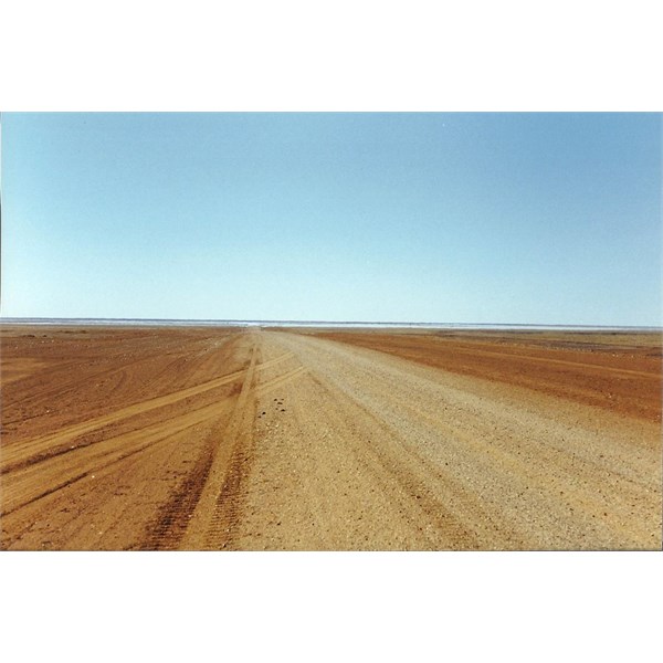
Road south of Coorabulka.
Do have some photos of the other roads too, Kevin, but wouldn't know where to look for them. :-( Enjoy the Bash.......
Bob
AnswerID:
551721