The
Hunt Oil Road - A history.
The Hunt Oil Rd is an abandoned exploration track, cleared by the Hunt Oil Company in the 1960’s. The track runs south from
Geraldton Bore on the Gunbarrel Hwy, to the Great Central Rd between Tjukayirla and
Warburton. The Hunt Oil Rd is about 263 km long and is one of a few ways to access the
Great Central Road from the Gunbarrel Hwy, other options being the David Carnegie Rd (
Eagle Hwy) to the west, and the Heather Hwy to the east.
The
Hunt Oil Road splits across the north western arm of what in geological terms is known as the 'Officer Basin'. The Officer Basin covers over 350,000 square kilometres of South and Western Australia. About 250,000km2 of the basin lies across the Gibson and Great Victoria Deserts in Western Australia. As a result, the natural environment is regarded as harsh desert, with low irregular rainfall, and extremely hot conditions in the summer months. Landforms in the
Great Victoria Desert comprise undulating plains, laterite outcrops and extensive dune fields, with vegetation of low open
woodlands, grasslands and spinifex scrub.
A number of significant exploration ventures have been undertaken across the region and a large dataset is available to the public. The earliest recorded geological investigation of the area was carried out in 1916 by H. W. B.
Talbot and E. C. Clarke as representatives of the Western Australian Government.
Talbot and Clarke passed through the area en route from
Laverton to the
Warburton Range, conducting several traverses between
Laverton and the South Australia border. The main purpose of their expedition was investigation of reported mineral-bearing rocks near the
Warburton Range. Their published works on the area remained the definitive study until the rush of oil and mineral exploration that commenced in the 1960’s.
The Hunt Oil - Placid Oil - Exoil Consortium undertook a major program of petroleum exploration in the Officer Basin between 1961 and 1966. They concentrated their effort in the area southwest of
Warburton which they considered was the deepest part of the basin. Reconnaissance aeromagnetics in 1961 was followed by a major gravity survey and detailed seismic surveys between 1963 and 1965, culminating in stratigraphic drilling in 1965 and 1966. During the surveys, 15 000 km of track were cleared by bulldozers, some 35,265 gravity stations were established, and 1794 stations were permanently marked. The interpretation of the drilling results led to the
suspension of operations. Four shallow test wells (maximum depth 614 m) and one stratigraphic
well (990 m deep) were drilled.
Additional aeromagnetic and geological surveys were done in the northern part of the basin as part of other petroleum exploration programs but none of these reports were published.
While many of the scars left from the gravity and seismic surveys have long been subsumed by the relentless desert, the
Hunt Oil Road remains as a lasting reminder of this push into a harsh, remote area in search of mineral wealth. The variety and wealth of the ecosystems the road traverses is astounding, as is the rich history of both the original inhabitants of the land and the many European
explorers who crossed these lands including;
• Ernest Giles (1873)
• William Christie Gosse (1873)
• John and Alexander Forest (1874)
• David Lindsay – Elder Expedition (1891)
• Hubbe Stock Route Expedition
• Calvert Expedition (1896)
• David W. Carnegie (1896/97)
2016 is the 50th year of the
Hunt Oil Road's existence.
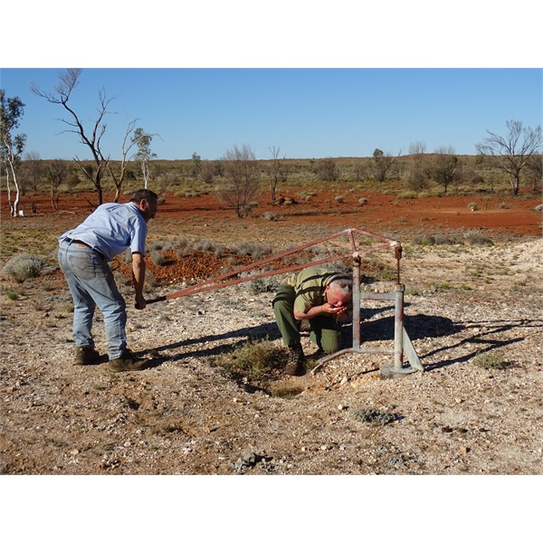
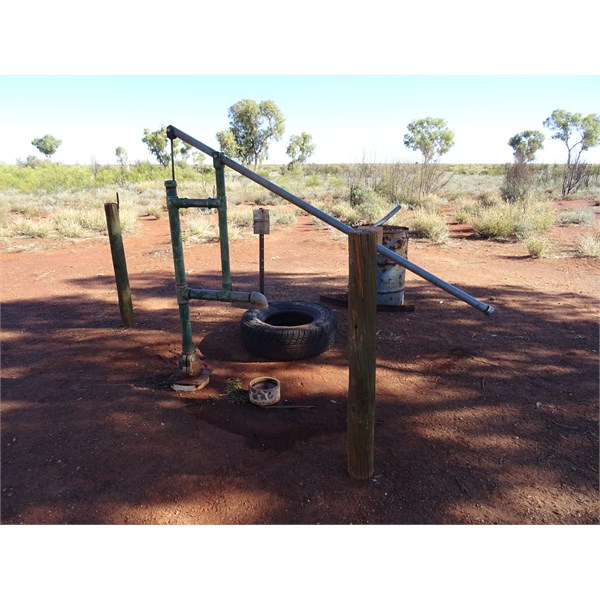
Hand pump, southern end of the hunt
Halfway Ridge
Heading north to the Hunt Oil Camp & Airstrip
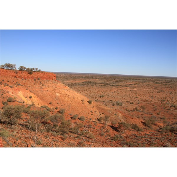
View from Mt Worsnop
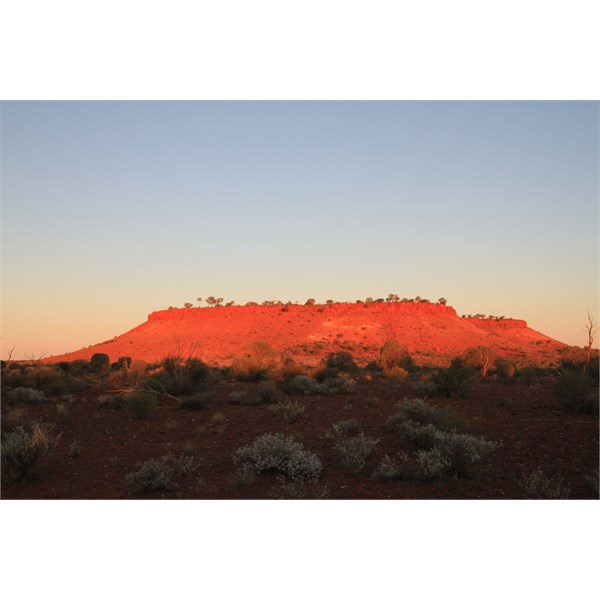
Mt Worsnop - late afternoon light
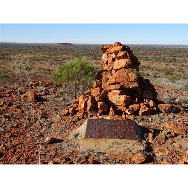
Mt Allot (Mt Worsnop in background)
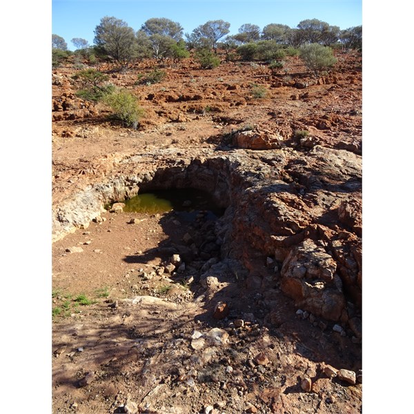
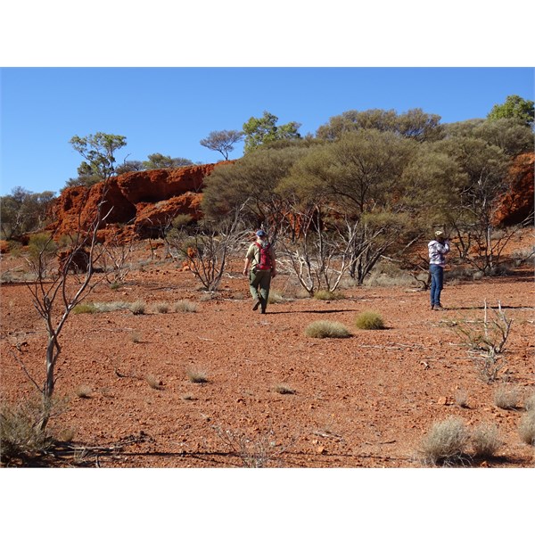
Alexander Spring
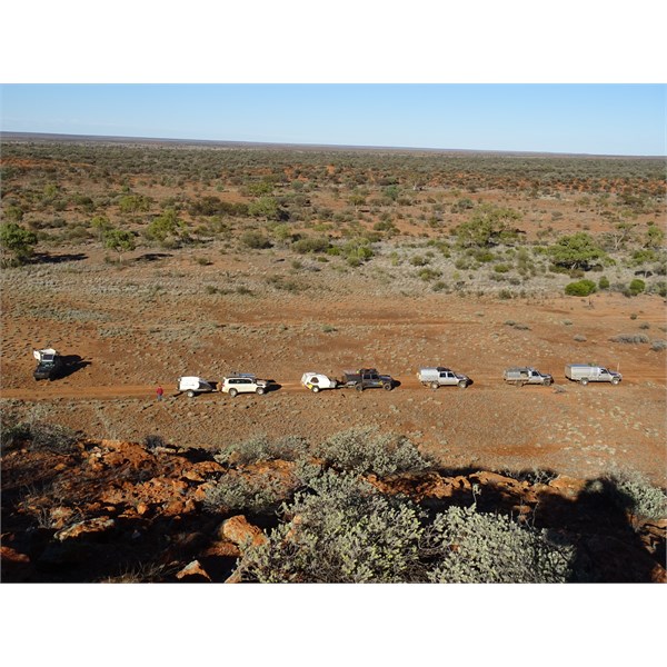
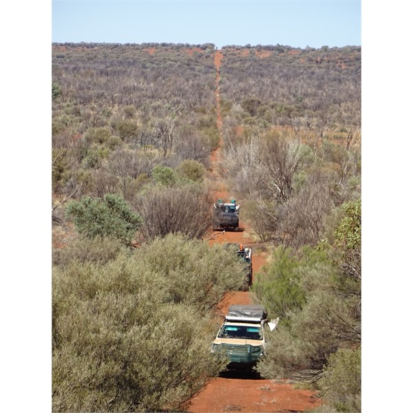
Convoy
Geraldton Bore - Gunbarrel Hw and Hunt Oil Road intersection