Rudall River from the west
Submitted: Wednesday, Apr 19, 2017 at 21:00
ThreadID:
134690
Views:
5145
Replies:
3
FollowUps:
3
This Thread has been Archived
Geoff N (NSW)
In 2010, I went into Rudall River past
Bocrabee Hill and
Tchukardine Pool. The track was getting a bit bushy but generally OK.
Just wondering if anyone has been on that track recently, and what conditions were like. Might be back that way in a couple of months.
Reply By: Member - peter_mc - Thursday, Apr 20, 2017 at 09:28
Thursday, Apr 20, 2017 at 09:28
I'm interested to know as
well as we hope to be there in late May.
AnswerID:
610366
Reply By: Mick O - Thursday, Apr 20, 2017 at 15:38
Thursday, Apr 20, 2017 at 15:38
Geoff, the track in is usually
well defined from
Christie Crossing to Bocrabee. From there it can be problematic as you move further east. It continues past Bocrabee to the south for 2 km and at a point (22°30'39.62"S 121°24'55.86"E) you should be able to pick up the track heading east through the dunes.
Eight km east you should come to a
track intersection (22°31'37.41"S 121°29'31.03"E) . DO NOT take the top track – It disappears into a
creek now 4m deep. Instead bear south for about 350m to a crossing point (22°31'47.76"S 121°29'26.99"E).
From here it gets a bit problematic for a few km. The area is a laterite soil plain which means that after a good rain, the
water will sheet and tends to wash away most of the tracks. It’s happened to me when we went through in 2009 and 2010 and in 2012. We had to make our own tracks each time. You could
well have been following our tracks back in 2010!
Have a look at this spot on Google earth (22°31'52.64"S 121°30'45.20"E). From here you’ll see a scrub band heading to then NE at 67 degrees for 2 km. You want to try and stay on the southern side of it. 1.2 km east of this point is a large stone cairn (22°31'48.76"S 121°31'23.28"E) at the edge of a grassy plain. If you can get to that, head across then plain at 77 degrees for 2.5 km and you should be able to pick up the track on the other side (Here’s a spot to aim for 22°31'29.74"S 121°32'56.61"E ).
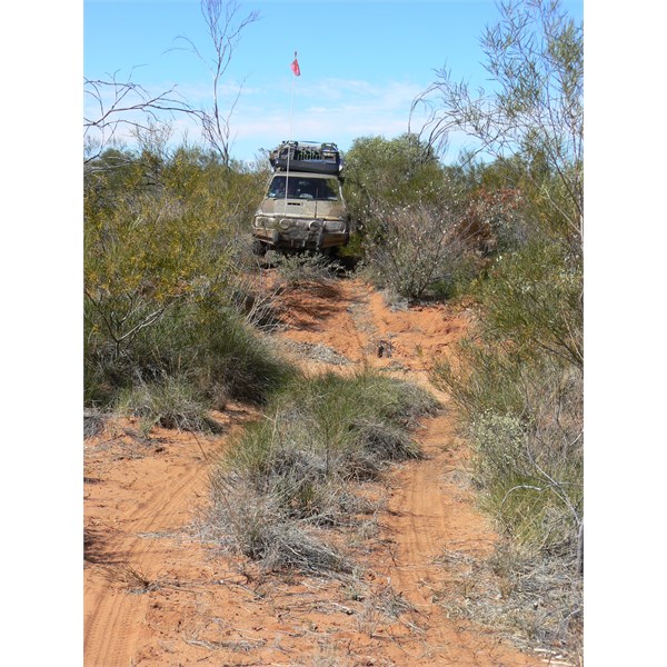
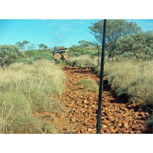
From there it’s largely as you remember it. A bit rocky, a few plains, a
creek or two and the rocky staircase down to Tchuck Pool. The only other problematic area is the
creek crossing 4km south-ish from
Hanging Rock. It gets washed a way to so you’ll need to walk across to the other side to find an exit point.
Enjoy the trip. Great part of the world.
Mick
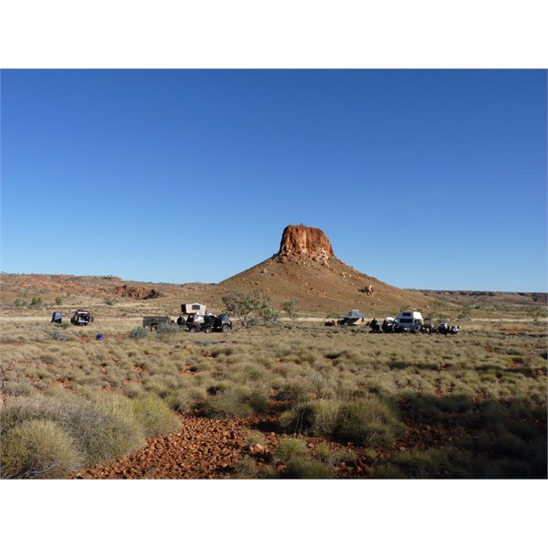
Darlsen Pinnacle - Rudal River
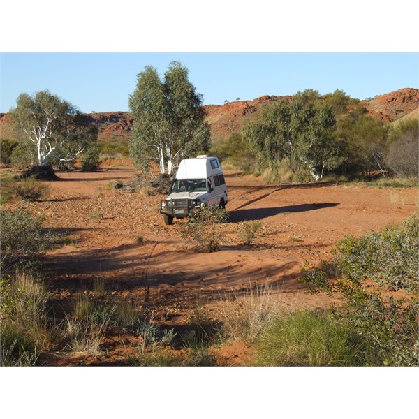
Crossing the creek near Hanging Rock
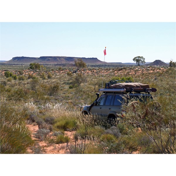
Approaching Bocrabbe from the east
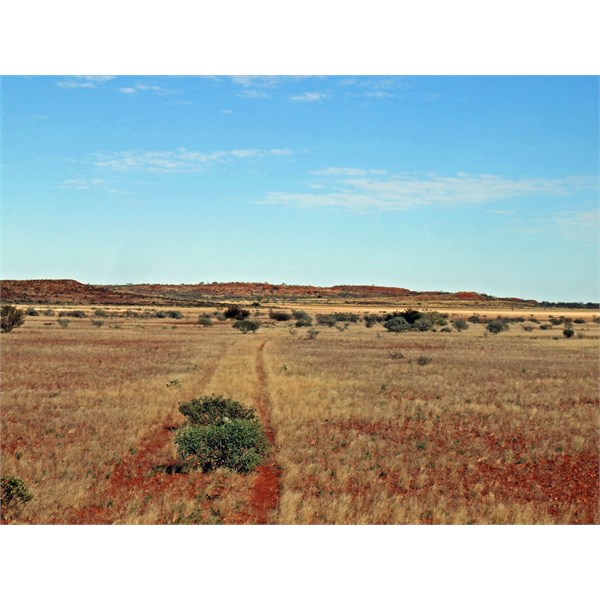
The track across the grassy plain heading towards the cairn
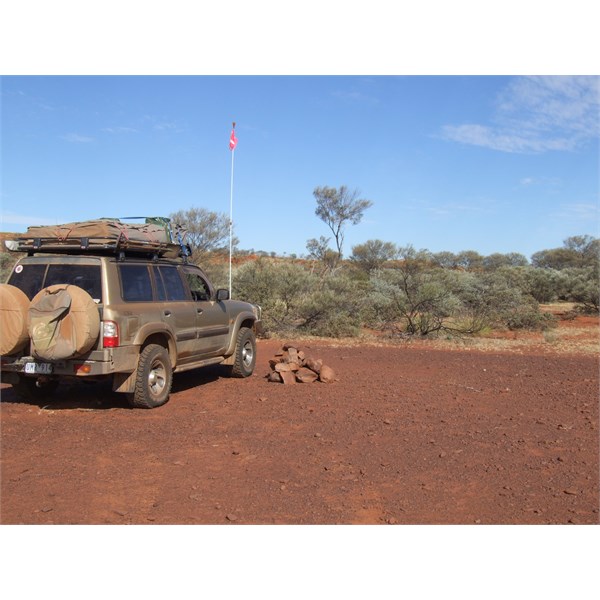
The cairn
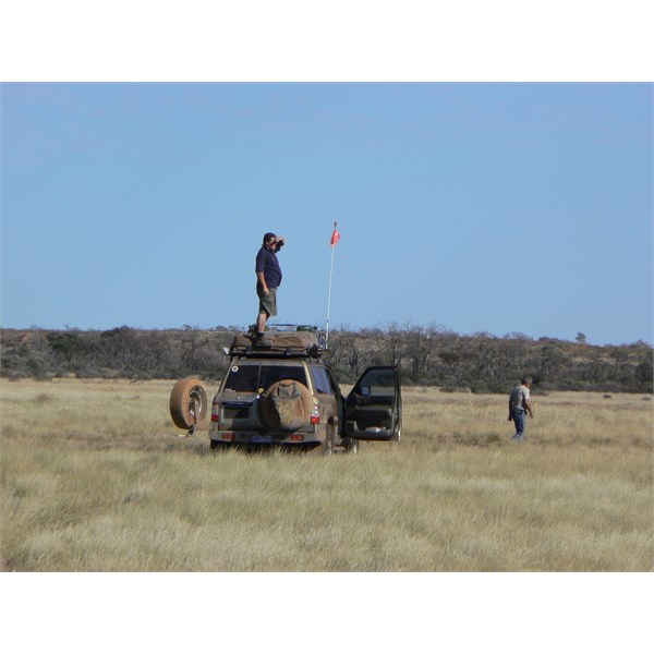
Looking for the track
Crosing south of the washed out creek
Staircase at Tchuck Pool
AnswerID:
610377
Follow Up By: Member - Phil 'n Jill (WA) - Thursday, Apr 20, 2017 at 17:41
Thursday, Apr 20, 2017 at 17:41
Mick - If I ever do get up to that sector I will treasure your notes - the details and GPS references are GOLD.
Copying into my 'Rudall River' file - under 'Bucket List' :O)
Thanks
Geoff - hope you have a great trip.
Cheers - Phil
FollowupID:
880309
Follow Up By: Geoff N (NSW) - Saturday, Apr 22, 2017 at 12:05
Saturday, Apr 22, 2017 at 12:05
Thanks Mick. Great information. We made it from the Oakover to
Hanging Rock in 1 day and it was one of the most enjoyable days I've had 4WDing, despite a staked tyre.
FollowupID:
880372
Follow Up By: Mick O - Saturday, Apr 22, 2017 at 14:59
Saturday, Apr 22, 2017 at 14:59
Cheers Geoff. I hope to get back next year with those pesky Canadians again. It's a good days drive. We stayed at
Pearana Rockhole on two previous occasions as we headed towards Woody Woody. It's a nice enough place to overnight.
Pearana Rockhole
Cheers and safe travels
Mick
FollowupID:
880375
Reply By: Joe Fury - Thursday, Apr 20, 2017 at 18:22
Thursday, Apr 20, 2017 at 18:22
G'day Geoff N
I have just had a quick look at the weather radar map for Western Australia, rain forecast for the interior and there has been good rain fall over the past week, here in
Newman no rain today but we had around 10ml Moday/Tuesday.
Check the WA weather satellite maps on the Bom.WA site.
Safe travels : Joe
AnswerID:
610384