QGIS - ANY GURUS AROUND?
Submitted: Friday, Jan 07, 2022 at 08:52
ThreadID:
143057
Views:
5563
Replies:
6
FollowUps:
1
This Thread has been Archived
Member - lyndon NT
Hi Folks
I posted the other month about using SAS planet with Satellite images to make maps. Unfortunately there just doesn't seem to be enough info around for a "technically" challenged person (like myself) to teach themselves the skills needed.
Just wondering if anyone has played with or uses QGIS to use satellite imagery for their mapping requirements. Seems to be a LOT of videos on YouTube re the topic.
QGIS
Cheers
Lyndon
Reply By: Member - Bigfish - Friday, Jan 07, 2022 at 09:12
Friday, Jan 07, 2022 at 09:12
I,m in the same boat mate. I,d like to be able to use a screen shot from google earth and lay a track over it so I can use on either Hema, ExPlore oz,Memory map. Hopefully someone can help...sorry if I,ve butted in but I think this is what you want as
well? Cheers.
AnswerID:
639021
Reply By: Member - Warren H - Friday, Jan 07, 2022 at 15:52
Friday, Jan 07, 2022 at 15:52
Back in my working days, our GIS people considered QGIS the go to public domain package to use in conjunction with ESRI's ArcGIS. Unfortunately I am in the same boat as you guys, I know a bit. I can muddle around and add a few data points to create a diagram of sampling points for example and know in principle the need to register control points in a raster image ex Google Earth, but have never done it. If you are familiar with image layers as used in Photoshop or CAD packages it makes conceptualising easier. I've never persuaded myself of the benefit of learning the in and outs, but it would be nice to create your own maps from Google Earth images.
AnswerID:
639022
Reply By: Member - Bigfish - Friday, Jan 07, 2022 at 21:53
Friday, Jan 07, 2022 at 21:53
Thanks Maurice. I,ll try it. Appreciated.
AnswerID:
639027
Reply By: The Explorer - Friday, Jan 07, 2022 at 22:48
Friday, Jan 07, 2022 at 22:48
Hello
I mentioned this before in your last thread - if you want to create georeferenced images for use in OziExplorer (and other programs that support "customs maps") from a variety of sources maybe try
MOBAC . Current version doesn't support GE or Virtual Earth but if you do some digging you will find how. You can make georeferenced maps with QGIS (and ArcView etc) but these programs have steep learning curve.
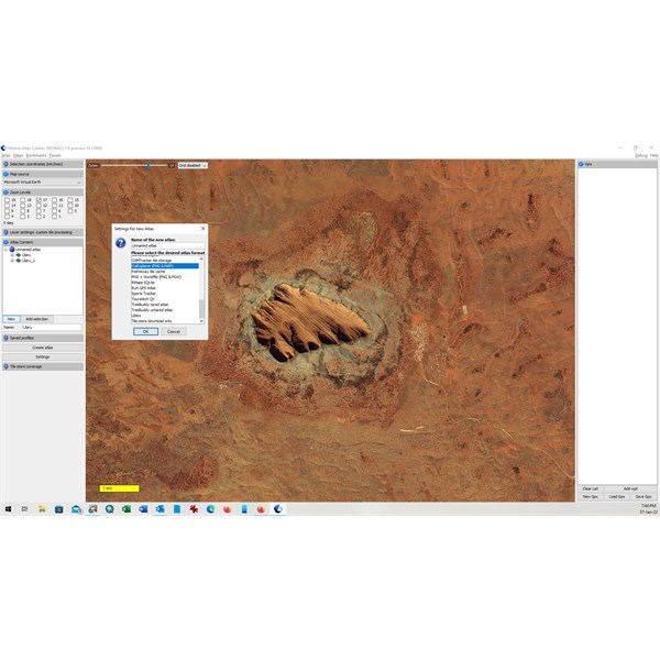
Uluru
Cheers
Greg
| I sent one final shout after him to stick to the track, to which he replied “All right,” That was the last ever seen of Gibson - E Giles 23 April 1874 Lifetime Member
My Profile My Blog Send Message
Moderator |
AnswerID:
639028
Reply By: Member - peter_mcc - Sunday, Jan 09, 2022 at 11:01
Sunday, Jan 09, 2022 at 11:01
It's not quite what you're after but I used OsmAnd (
https://osmand.net/ ) on a tablet a number of years ago to look at satellite images and found it useful. If you scrolled around the areas you were interested in while online it would save the images for when you were offline. That meant lots of scrolling beforehand but it wasn't hard, just boring.
AnswerID:
639037
Reply By: Charles C - Wednesday, Jan 12, 2022 at 21:17
Wednesday, Jan 12, 2022 at 21:17
TerraIncognita is a simple program you can use to use for sat images although you can't zoom in as far as some older programs such as SAS. Missing tiles has always been a problem for SAS.
It quite east to merge a screen shot in QGIS,I not sure its designed for bulk download of map tiles.
AnswerID:
639069