Traveller App New Feature
Submitted: Thursday, Jun 11, 2026 at 07:22
ThreadID: 152695
Views:141
Replies:2
FollowUps:0
Member - ValueRider
You know what would be really helpful for trip planning is a feature that allows you to see a graph of elevation (y-axis) over distance (x-axis) for a route. All the topographical and route data is already there. This feature will be particularly useful to visualize gradient on high country tracks.
I understand there is gradient mapping available for snail
trails / recorded
routes, but I haven't seen anything similar for planned
routes.
Any support for this feature?
Reply By: Tony W - Thursday, Jun 11, 2026 at 17:22
Thursday, Jun 11, 2026 at 17:22
Like this? Its Memory Map though.
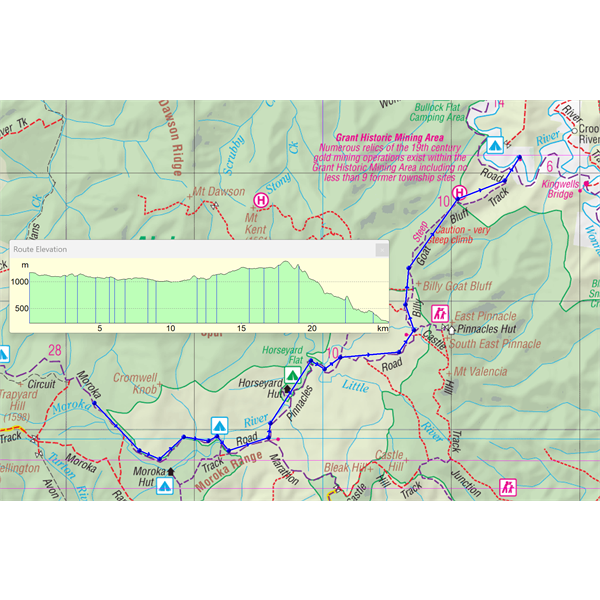
Map including Altitude vs Distance
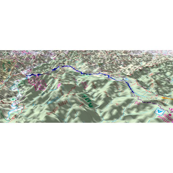
3D map showing route
AnswerID:
649304
Reply By: ExplorOz - David & Michelle - Thursday, Jun 11, 2026 at 19:11
Thursday, Jun 11, 2026 at 19:11
David says yes he should have added that as we can - will do in a future update, standy by and thankyou for the prompt..
AnswerID:
649305