Saturday, Apr 20, 2013 at 14:09
Firstly, Thanks Mike, but as EO Members, that is what it is all about, helping others with reliable information when asked.
Now Robin, back to your question.
To be very honest, I have never seen that booklet that shows the track straight up from the French Line, and trust me, it does not exist.
Back in 2003 when I started doing my research on how to get there, it was a very closely guarded secret, those that went were not prepared to offer any help at all.
After countless emails, searches etc, I finally got hold of a very reliable contact. 3 computers later, I have lost his details, but if you look in
places here on EO, I wrote a brief history of how it was determined etc.
The large tower was erected by Members of the Victorian CFA Four Wheel Drive Club and it was one of those members that was able to help me out. The chap gave me a lot of information, but no waypoints or track files. What I can tell you is they always used the track coming off of the Colson Track.
Unlike the Madigan, this track does not very very much traffic, so in fact it is moving map country and you only know that you are track when you compare it with your moving map.
The point where the track enters the main track north was the limit of any tracks heading south. Try as we did, there was no
sign of any track what so ever. So we then headed east knowing there should be more shot line in the general direction that we were travelling.
This track took a very long time to locate
The above track to the shot line was all over the place, as you can see from my track file. At the point where the computer showed that we were on the shot line, will it was just not there. We drove at a snails pace past the track a few times before we got out of the vehicles and search on foot for it. After about 10 minutes, I found it. It was so overgrown, that the only way that you could see the track was to be right on top of it, but then use you imagination and look into the distance for any signs that may exist over the dunes in front of you. It was that overgrown that if you stood 5 feet either side if the faint track, there was no
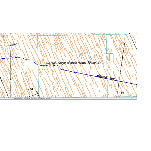
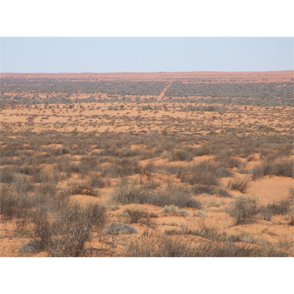
sign of it at all. The further east we travelled, the track become more defined and easier to follow. The 2 images below show show what a so called shot line that should be on the map can look like.
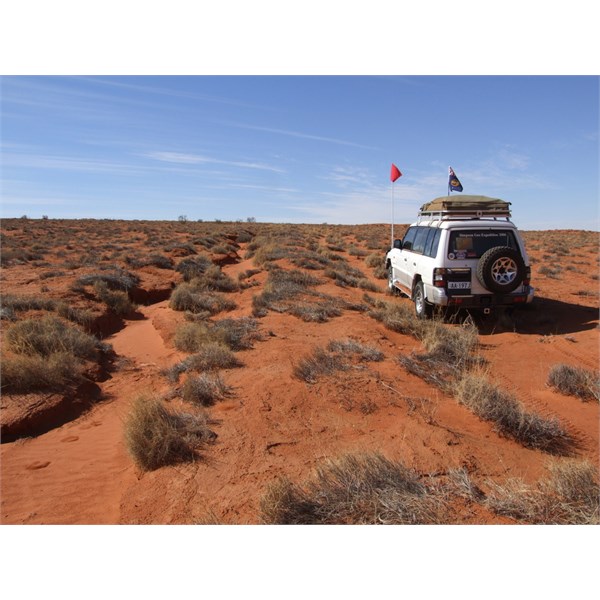
This was driving on a very overgrown shot line
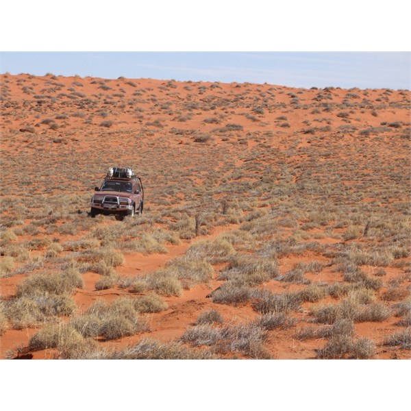
As you can see, no track over the back dunes, be we were on a shot line
Many times the shotlines had been taken back by natures decades before and there were still some modern day evidence to let you know you were on track. Other times the tracks through the Gidgee could be seen from a long way off, and you just point your car in that direction, knowing that thee will be a track to find hopefully.
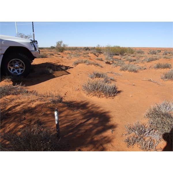
This old survey peg let us know we were on track
Just point your vehicle in the direction of that blaze through the Gidgee
Please feel free to ask any further questions.
Cheers
Stephen
FollowupID:
787235