Wednesday, Nov 11, 2015 at 21:11
Hi Warren
Sorry for the delay, but as they say, its better late than never.
Just like my reply re
Suicide Bridge, I will let photos guide you through the drive from
Renmark through to
Wentworth.
Depending how much time you have and what you would like to see, I will also include a couple of detours that are worth it if you are in the area.
To make the first detour before you arrive at
Renmark, the old site of the Hotel on the Northern Banks of
Lake Bonney are worth a look.
From
Renmark, head out on Ral Ral Avenue and take the Main Road to
Wentworth. The first detour off of the main road and
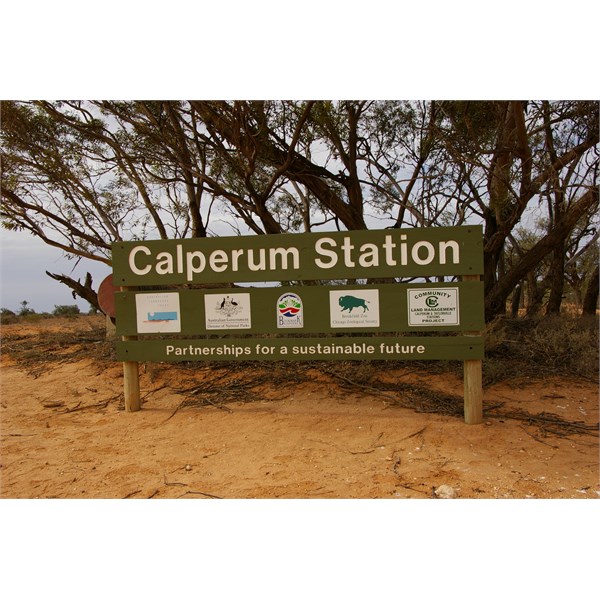
well worth it is the detour into Calperum Station. Here there some good example of Aborigine Canoe Blaze trees and old shell middens, as
well as Caseys
Camp and
the junction of
Amazon Creek at
Amazon Junction.
As with my
Suicide Bridge Reply, turn off to your right before reaching the Danggali turn off. Like I said, there are 2 tracks side by side and the very right track with the closed road
sign will take you towards
Suicide Bridge, with you requiring to walk the short distance to view the 115 year old bridge that was never used.
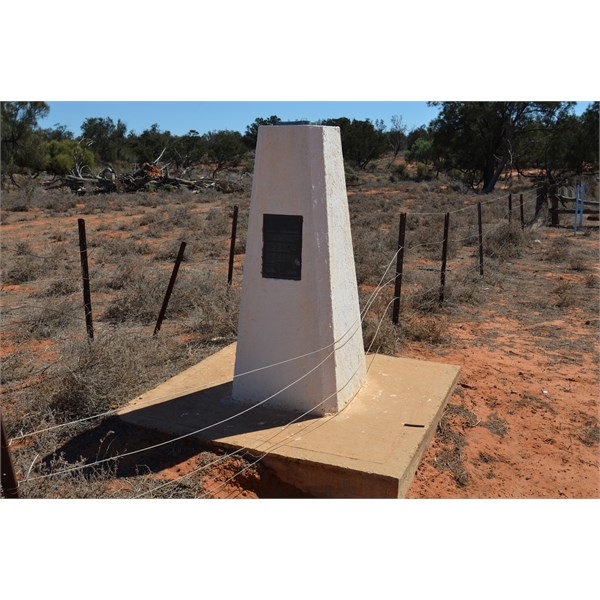
If you would like to view some more special history while you are in this area, follow the left track through to the site of the
Todd Obelisk, the site where Charles Todd spend many months accurately surveying the area to get the
boundary of South Australia and New South Wales correct, after the complete debacle of the surveying of the South Australian and Victorian Border survey. Follow through the game and follow good tracks to the site of the old Scab Inspectors Hut, what was a very import stock and customs house in the very early days of South Australia.
Rather than retracing your tracks from the
Todd Obelisk bask to the Main Road, follow the good track north that runs parallel to the state
boundary fence. This interesting drive will take you about 6 kilometres the the main
Wentworth Road and another special
Border Marker.
Around 12 Kilometres east of the border, you will come to a major that will take you south to Rufus River, which is a great easy drive. When you get to the Rufus River Regulator, its worth stopping and looking out to the southern shores of
Lake Victoria and a good information display.
Eating further east, there are a number of good things to stop and see and if you are after a good little spot to fee
camp, take the Lock 8 Road for a very short drive to the Frenchman's
Creek -
Scaddings Bridge camping area.
Not very far out of
Wentworth, a visit to the
Perry Sandhills is worth visiting. Do not drive through
Wentworth, as it might be a small town , but there is lots to see there, including Lock 10, The old
Wentworth Goal, The old Wharf, and many more fine old building.
I hope this is some help to you.
Cheers
Stephen
Ruins of the Old Hotel on the northern Shore of Lake Bonney
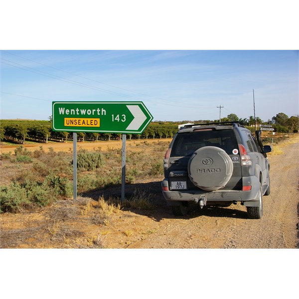
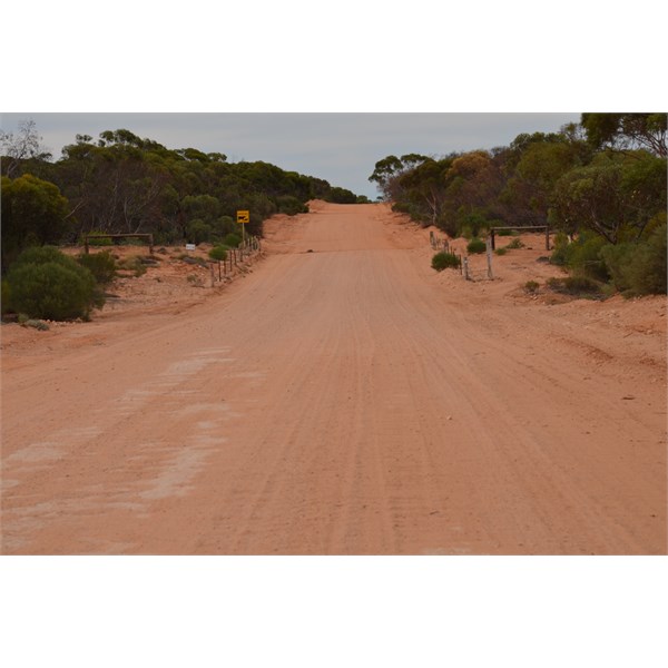
Follow the Main Road to Renmark
Turn Right at this main turn off
Information Bay on your left at the end of the bitumen
Around a kilometre from the Information Bay on your RHS is the road into Calperum Station
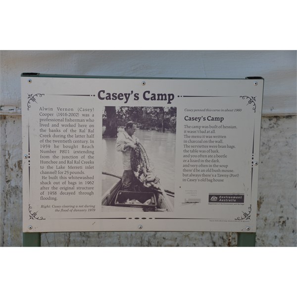
Casey's Camp

Casey's old Hut
Calperum Station
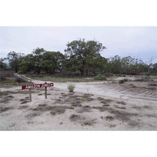
Amazon Junction on Calperum Station

Amazon Junction on Calperum Station

Aboriginal Canoe Blaze Tree on Calperum Station
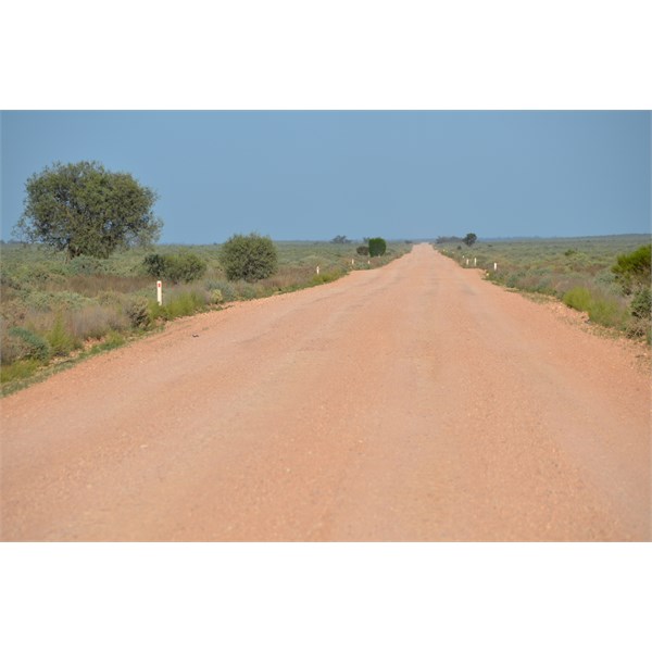
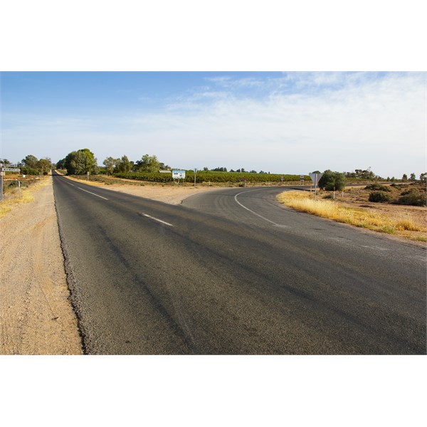
Heading east on the Main Wentworth Renmark Road
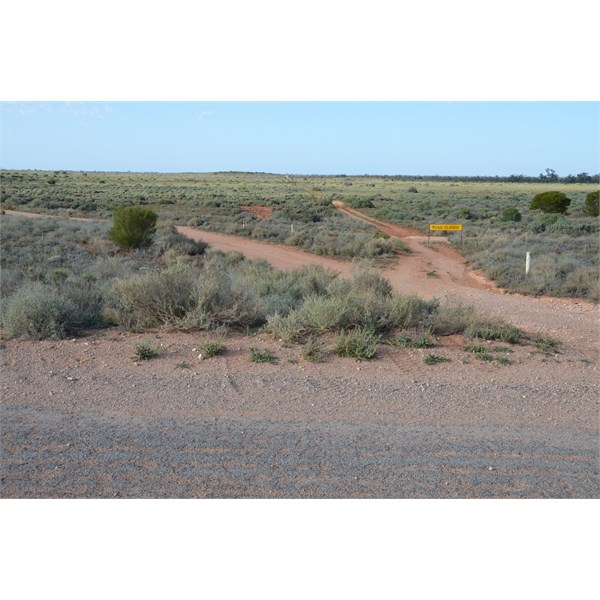
Suicide Bridge turn off
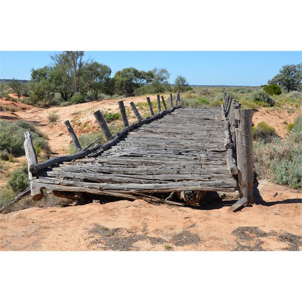
The 115 year old Suicide Bridge

The important Todd Obelisk
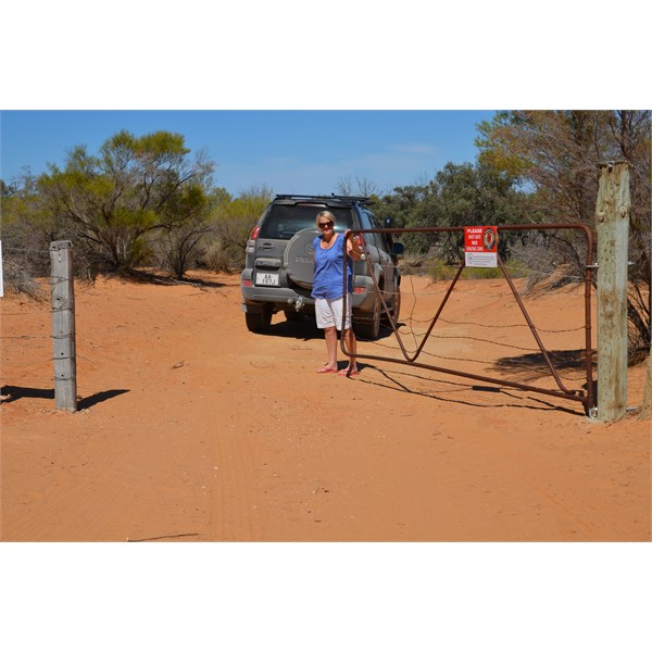
Head south through this gate to the old Scab Inspectors Hut

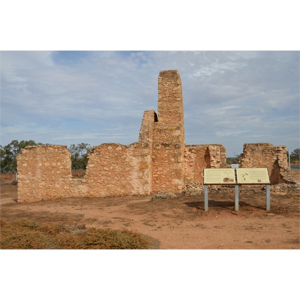
Scab Inspectors Hut ruins

Behind the Scab Inspectors Hut is another good example of an Aboriginal Canoe Blaze tree
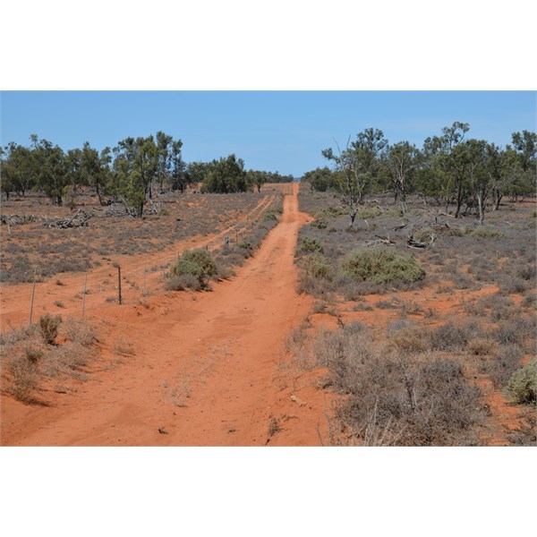
Border track north to the Main Road
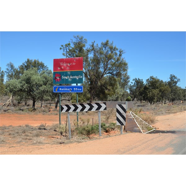
New South Wales/South Australia State Border

State Border Marker
State Border Marker

12 Kilometres and turn south on the Rufus River Road
Rufus River Road
Stop at the Rufus River Regulator
There is an information Shelter there
Looking out to the Southern Shore of Lake Victoria

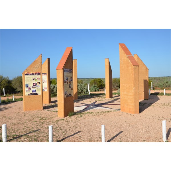
Information Shelter
Information Shelter
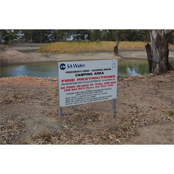
Frenchman's Creek Camping area
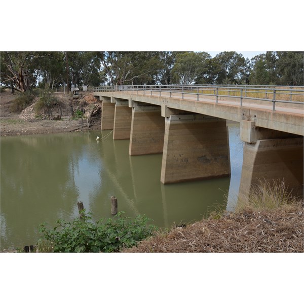
Scaddings Bridge
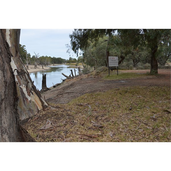
Frenchman's Creek Camping area
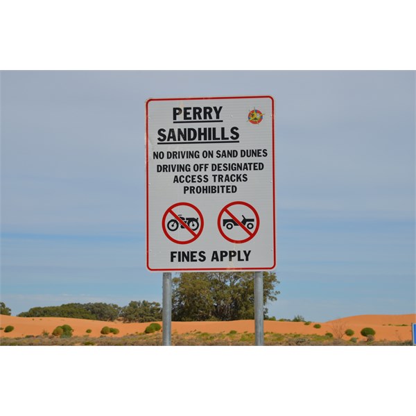
Detour into the Perry Sandhills

Perry Sandhills

Charles Sturt Memorial at Lock 10
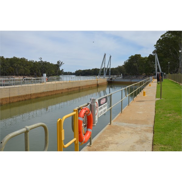
Lock 10
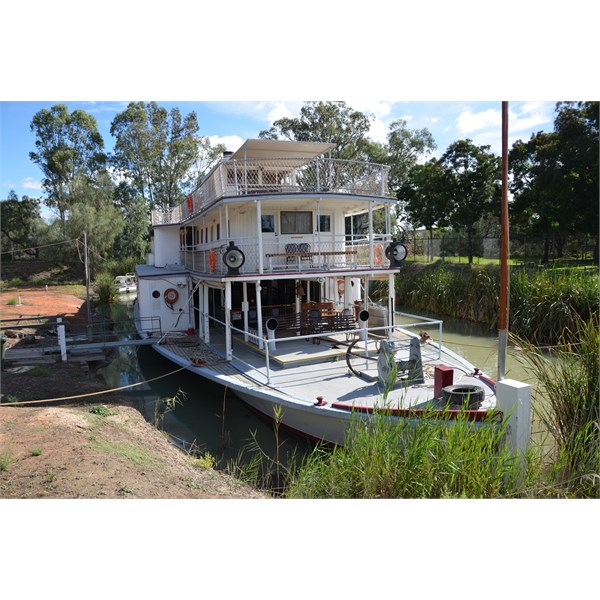
PS Ruby at Wentworth
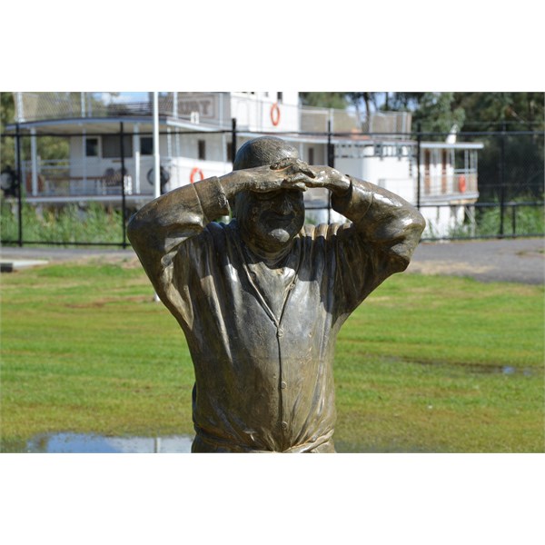
Possum Memorial at Wentworth
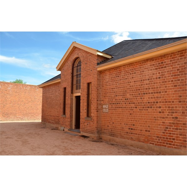
Old Wentworth Goal
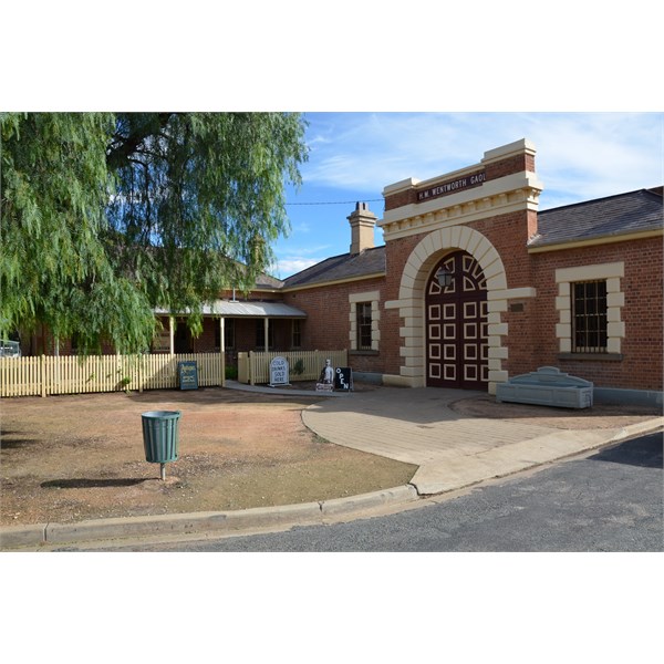
Old Wentworth Goal
AnswerID:
592607
Follow Up By: WarrenTC - Thursday, Nov 12, 2015 at 15:41
Thursday, Nov 12, 2015 at 15:41
Stephen, thanks again for a fantastic comprehensive reply. Definitely will take a few of those detours.
Looking at the map and your descriptions, I think the photo I posted with the motorbike must be on the 'Main
Wentworth Road' (as named on the Exploroz topos) which heads east from
Todd Obelisk. In your description you avoided that route.
With the Scab Inspector Cottage - is that track suitable for 2WD? Looks a little sandy from the photos - last thing I would want is to be bogged in sand in the middle of nowhere so I would rather err on the side of caution.
Old Stock Bridge looks interesting as
well - is that easily accessible for 2WD or is it a real 4WD sand track?
FollowupID:
860815
Follow Up By: Member - Stephen L (Clare SA) - Thursday, Nov 12, 2015 at 19:08
Thursday, Nov 12, 2015 at 19:08
Hi Warren
Firstly, yes you are correct with the track that the Motor Bike was on. When we have driven it in the past, it was never cut up like that, and it could now be one of the reasons why it is now a "Closed" track.
All of the
places that I have mentioned, with the exception of the
Border Track north from the
Todd Obelisk, are hard packed tracks with small sections of shallow sand over them. The firm bases are either a
limestone base, or black soil, so if it is wet, you would want to keep
well clear of them.
The run up to the main
Wentworth Road that follows the Border fence is not deep sand at all, and large sections of is with a solid base.
The only thing to be aware of out there is that you will have no phone reception at all, so as a minimum, a UFH radio would be handy, or even a Sat Phone. Drive to the conditions and you will have a great drive.
Cheers
Stephen
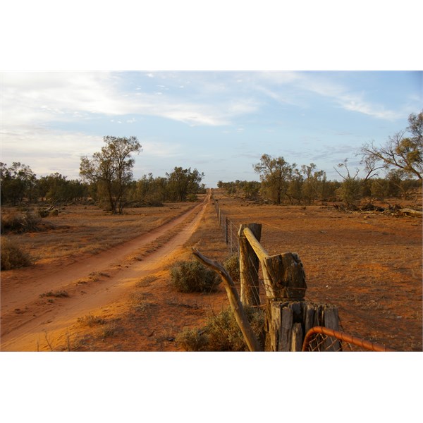
This is the track that heads East of Todd's Obelisk , but now a "Closed" track
FollowupID:
860821