Sunday, Jun 24, 2018 at 16:12
Hi Cuppa, We travelled the reverse route from you back in 2016 from Alice down to Old
Andado. The road between Old
Andado to Finke via New Crown Station was pretty good, some corrugations & sandy patches in
places, but on the whole pretty good.
From Finke, you travel up the Old Ghan Railway line & turn off to Maryvale Station. This road can be very corrugated, and has a number of old Railway Track Spikes you need to keep an eye out for.
From Maryvale Station you take the
Chambers Pillar Road. It is approx. 46 kms out to the Pillar. This road can be quite rough in
places, and there is a decent
jump up to climb in the Charlotte Range. After the
jump up there is a
gate to access the National
Park. From this point on there are a number of
sand dunes to go over, and a Sand Flag is recommended. We got in & out including the
jump up &
sand dunes towing an 18' full off road van without any difficulty. It will take a good couple of hours to get out to the Pillar, and there is only one way in & out, so unfortunately you do have to back track. We camped at the Pillar, there are a number of
camp sites, fairly
well spaced apart, with a drop
toilet. If you want a
camp fire, (there are fire
places), you need to take wood in with you, but remember to pick it up outside the National
Park. There are also a number of different rock formations to look at as
well as the Pillar.
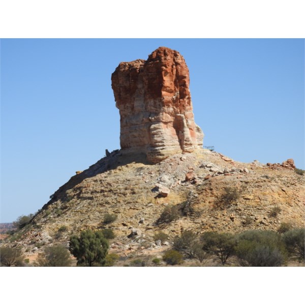
Chambers Pillar

Camp site @ Chambers Pillar
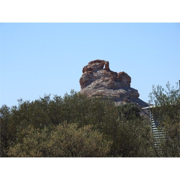
Rock Formations near Chamber Pillar
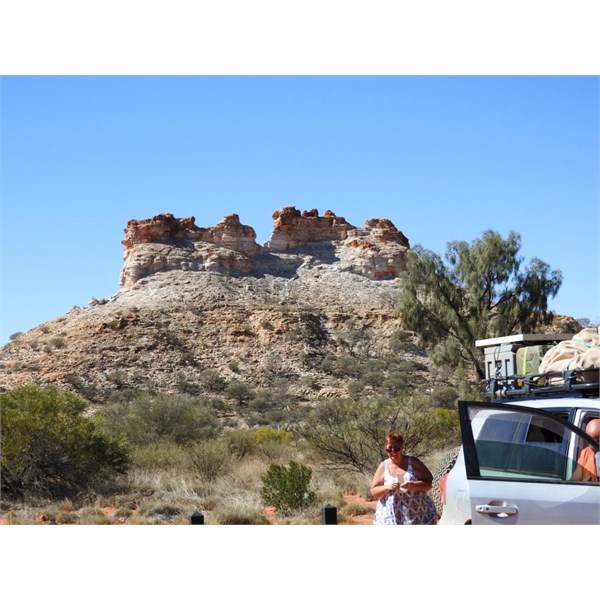
Rock formations near Chambers Pillar
From Maryvale Station you head north again up the Old Ghan Railway line. If you want to visit
Rainbow Valley before getting to
Alice Springs, you take the Hugh River Stock Route about 32 Kms north of Maryvale Station. This will take you back to the Stuart Highway just south of the
Stuarts Well Roadhouse. You turn right onto the Stuart Highway and head north towards
Alice Springs. The Turn off to
Rainbow Valley is on your right and is marked. It is approx. 15 Kms north of
Stuarts Well Roadhouse.
Macca
FollowupID:
892095