Sunday, Jan 12, 2014 at 17:47
Hi Craig
If you use Ozi, then please put these co-ordinates in for the turn off on the Eyre Highway, coming in from the east after
Yalata and Western Australia.
S31 31 23.7360
E131 52 53.2560
The turn off is not signposted, but it is right on the actual
Dog Fence Crossing as it crosses the Eyre Highway.
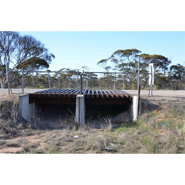
This is the Dog Fence Crossing over the Eyre Highway
As you are heading south for the coast, you will be following the actual
Dog Fence all the way down to the coast, and the track will be on the Right Hand Side of the
Dog Fence.
Conditions to the coat will be long open flats, to Mallee Covered Dunes.
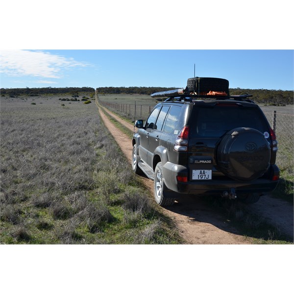
Open Plains
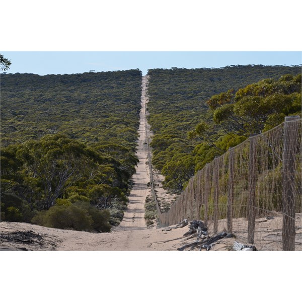
Mallee Covered Sand Country
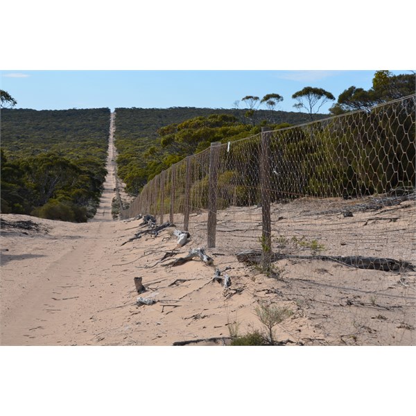
Travelling right alond side of the Dog Fence
Once you are at the coast, there are tracks heading to your right to
Dog Fence Beach, or you can stand at the actual point were the fence goes over the
cliff.
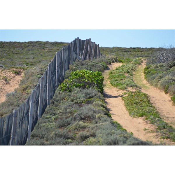
Track Heading towards the coast
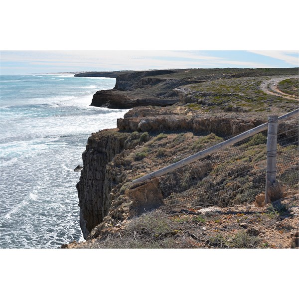
The actual point where the Dog Fence Starts, on the edge of the cliff
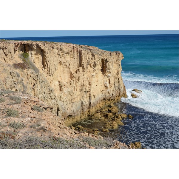
Cliffs at the start of the Dog Fence
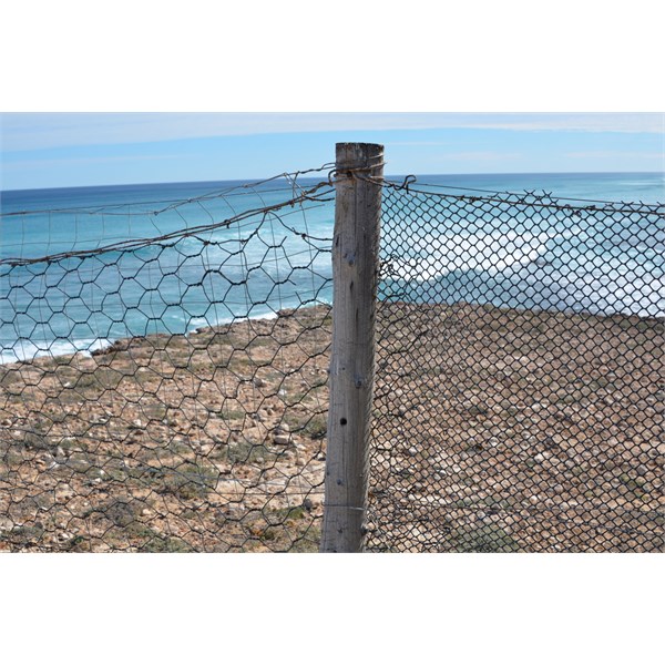
The only place where you will see the Dog Fence with plastic netting
Once you have looked around the area, you can get back to the Eyre Highway 2 ways. Retract your tracks back the way you came in, or go through the
Dog Fence at this
gate.
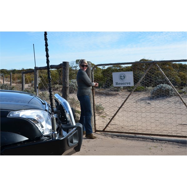
Come back trought this gate in the Dog Fence
Coming back this way is very different where you will be travelling through the Mallee. If using Ozi, you can take lots of back tracks that will bring you right into
Fowlers Bay. If you are unsure, follow the main track as it leads you out of Wahgunyah Conservation Park and it will bring you out on
Tower Hill Road.
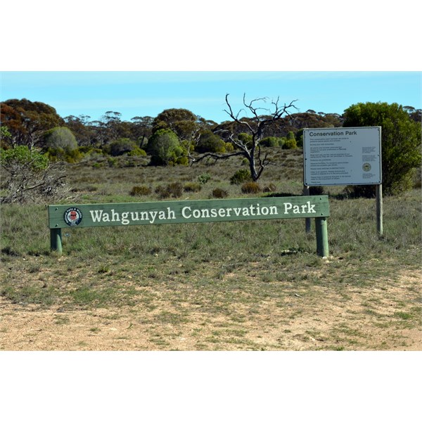
Leaving Wahgunyah Concervation Park
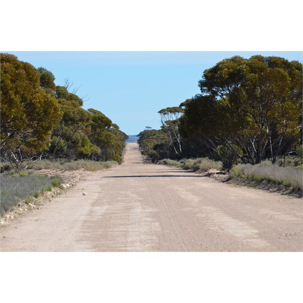
Tower Hill Road

The reason why this road is called Tower Hill Road
Once back on the Eyre Highway, you will now only be a few kilometers west of
Nundroo.
I hope this heps you out a little more.
Cheers
Stephen
FollowupID:
805976